
What is recorded here
Situated in Black Lough, at the entry to the NW arm of a roughly X-shaped lake (max. dims c. 770m NE-SW; c. 500m NW-SE) with arms (Wth c. 120-300m) extending to the NE, SE, SW and NW. A large island (dims c. 50m E-W; c. 40m N-S) is depicted only on the 1907 edition of the OS 6-inch map, but it is now incorporated in woodland on the N side of the lake. A cairn (diam. 20m; H 1.5m) on rock outcrop may be a crannog, but no structural features are evident.
The above description is derived from the published 'Archaeological Inventory of County Monaghan' (Dublin: Stationery Office, 1986). In certain instances the entries have been revised and updated in the light of recent research.
Compiled by: Michael Moore
Date of revision: 26 February 2018
The monument record does not grant public access. Check the route and ask the landowner before entering private land.
- What survives
- Recorded monument
Places near here
 Crannog in Cortober (cremorne By.)Crannog · 948 yd
 Loughbawn Housegates/railings/walls · 1290 yd
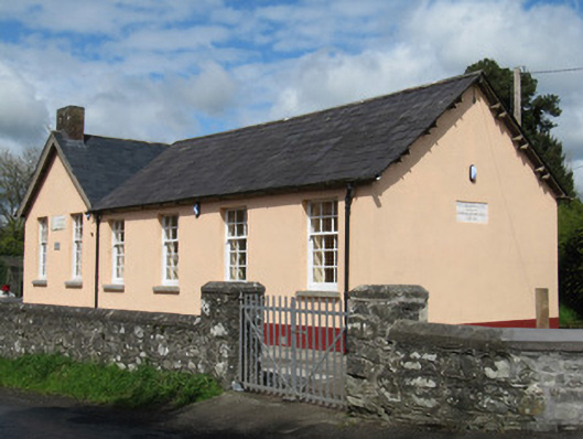 Scoil Náisiúnta Doire Ó gCuanaighschool · 1373 yd
 Senator Billy Fox 1939 - 1974Memorial · 1.0 mi
 Lisinisky fortFairy fort / earthen ringfort · 1.4 mi
 Annsfort MillsWood · 2.4 mi
 AghagashlanMountain / peak · 2.5 mi
 CarrickcreenyMountain / peak · 2.9 mi
 Giant's GraveArchaeological place · 2.9 mi
 Drumlumman Wet WoodlandWood · 2.9 mi
 Small IslandIsland · 3.3 mi
 Gull IslandIslet · 3.4 mi
Other information
Photo: Credit not shown in the picture search · Rights wording not checked; contact us if this picture should be removed