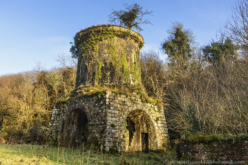
What is recorded here
Situated towards the top of a steep E-facing slope that leads to a col between higher summits to the NW and S. This monument is depicted as an irregularly shaped, scrub-covered enclosure on the 1835 edition of the OS 6-inch map and as an oval enclosure on the 1945 edition. An arc (Chord 30m N-S) of an overgrown earthen bank (at W: Wth of base 2.5m; int. H 1.2m; ext. H 1.35m) with traces of an external fosse survives at W.
The above description is derived from 'The Archaeological Inventory of County Leitrim' compiled by Michael J. Moore (Dublin: Stationery Office, 2003). In certain instances the entries have been revised and updated in the light of recent research.
Compiled by: Michael Moore
Date of upload: 23 September 2008
Amended: 6 December 2019
A local fairy fort (ringfort/rath); wider significance not recorded.
The monument record does not grant public access. Check the route and ask the landowner before entering private land.
- What survives
- Recorded monument
Places near here
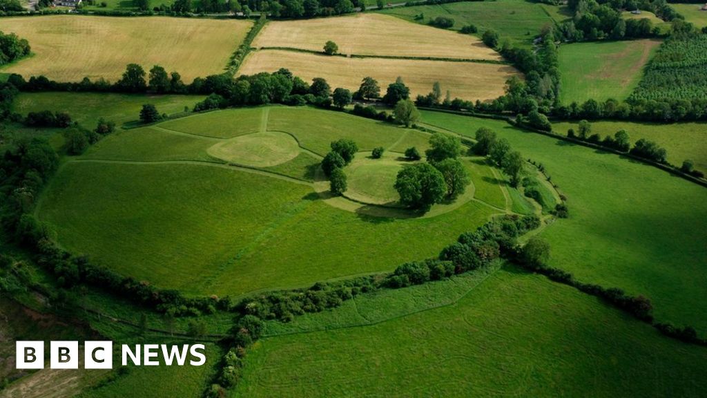 Sheean FortFairy fort / earthen ringfort · 1508 yd
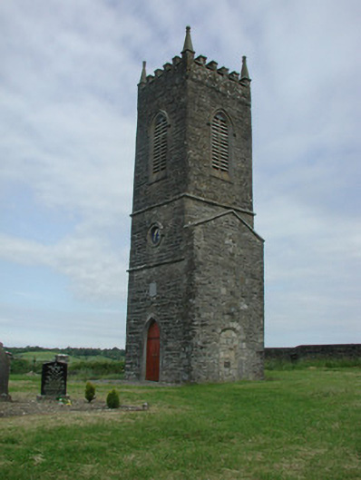 Saint James's Church (Cloone)church/chapel · 1.3 mi
 St Jamess ChChurch · 1.3 mi
 CrossCross, High cross · 1.3 mi
 Sessile OakSessile Oak · 1.4 mi
 Giant's GraveArchaeological place · 2.4 mi
 Turlough O'Carolan MonumentHeritage attraction · 2.7 mi
 Little IslandIslet · 3.7 mi
 Duck IslandIslet · 3.7 mi
 Lawson's CypressLawson's Cypress · 4.1 mi
 CastleCastle, tower house · 4.3 mi
 North Midland Transport CollectionMuseum · 5.5 mi
Other information
Photo: Credit not shown in the picture search · Rights wording not checked; contact us if this picture should be removed