
What is recorded here
Situated on a slight rise, in gently undulating pasture, with good views in all directions. This is the westernmost of two conjoined raths (the other is SL008-185----) which abut each other on an E-W alignment. This rath consists of a raised circular area (diam. c. 18m) enclosed by an earthen bank (Wth 3.4m; int. H 0.4m; ext. H 1.6m), outside which there is a fosse (Wth 3.65m) with an external earthen bank (Wth 3.05; int. H 0.6m; ext. H 0.5m). At NNW corresponding breaks (Wth 1.5m) in the inner and external banks marks the position of the original entrance. At SE-SW the external bank has been partly removed, and at W-NW it has been incorporated into a NNW-ESE orientated field boundary. The level interior is engulfed in dense overgrowth. At E the external bank abuts the enclosing bank of the second rath (SL008-185----).
Compiled by: Jane O'Shaughnessy
Date of upload: 16 December 2016
is a small, partly surviving early-medieval ringfort, likely dating to between the 6th and 10th centuries AD. Local tradition associates the site with fairy lore, as its name "Drum West" may hint at a connection to other Drum sites known for mythological or supernatural associations in Irish tradition.
The monument record does not grant public access. Check the route and ask the landowner before entering private land.
- What survives
- Recorded monument
Places near here
 Wynnes FortFairy fort / earthen ringfort · 795 yd
 Enclosure in TeesanEnclosure · 1.0 mi
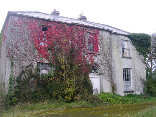 Doonally Househouse · 1.2 mi
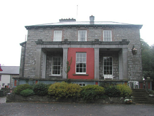 Mountshannon Housecountry house · 1.7 mi
 Drumcliff CemeteryGraveyard · 1.8 mi
 Grave of WB YeatsHeritage attraction · 1.8 mi
 Kings MountainMountain / peak · 2.3 mi
 European BeechEuropean Beech · 2.3 mi
 Copes MountainMountain / peak · 2.5 mi
 Castle (in Ruins)Castle, unclassified · 2.6 mi
 Floods WoodForest · 3.4 mi
 Glencar Lough ViewpointViewpoint · 3.4 mi
Other information
Photo: Credit not shown in the picture search · Rights wording not checked; contact us if this picture should be removed