What is recorded here
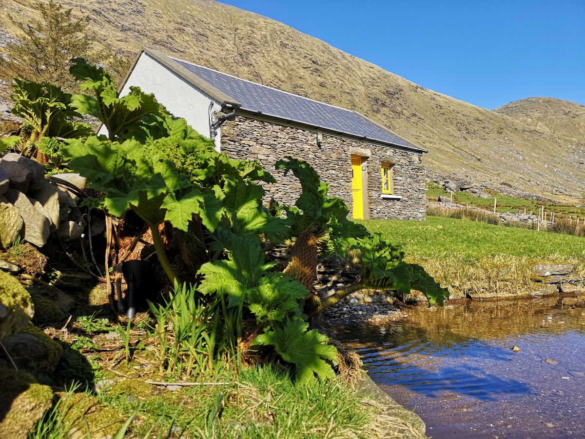
There is no trace of the large oval enclosure marked at this location on the first edition of the OS map. On the second edition it is depicted as being circular in plan. It was situated on a steep-sided terrace on the E bank of the Cummeragh river. The site is now occupied by a modern bungalow and garden.
The above description is derived from A. O'Sullivan and J. Sheehan (compilers), 'The Iveragh peninsula: an archaeological survey of South Kerry'. Cork University Press (1996), no. 806. In certain instances the entries have been revised and updated in the light of recent research.
Date of upload: 29 July 2013
This remains an important historical record, but the official description says the monument is no longer visible or has been destroyed. The monument record does not grant public access. Check the route and ask the landowner before entering private land.
- What survives
- No visible remains or recorded as destroyed
Places near here
 Man-made underground passage in DromkeareMan-made underground passage · 759 yd
 Hut site in An Chathair BhearnachHut site · 914 yd
 CoomduffMountain / peak · 1.3 mi
 St Finans ChurchChurch · 1.3 mi
 St Finans CellHouse, early medieval · 1.3 mi
 An PlaoscHeadland · 1.9 mi
 GlanbegMountain / peak · 2.0 mi
 CastleCastle, tower house · 2.8 mi
 Butler MemorialMemorial · 3.0 mi
 T. C. Millerick MemorialMemorial · 3.1 mi
 Waterville PromenadeWalking route · 3.2 mi
 Inny StrandBeach / strand · 3.9 mi