What is recorded here
In pasture, on a rise. Shown on the 1838 OS 6-inch map as a circular enclosure, and on the 1929 edition as a D-shaped enclosure (c. 30m N–S; c. 30m E–W), delineated by hachuring SE-NE and bordered on the straight side at E by a N-S field boundary. Levelled during land reclamation.
Compiled by: Jane O'Shaughnessy
Date of upload: 8 January 2015
The monument record does not grant public access. Check the route and ask the landowner before entering private land.
- What survives
- Recorded monument
Places near here
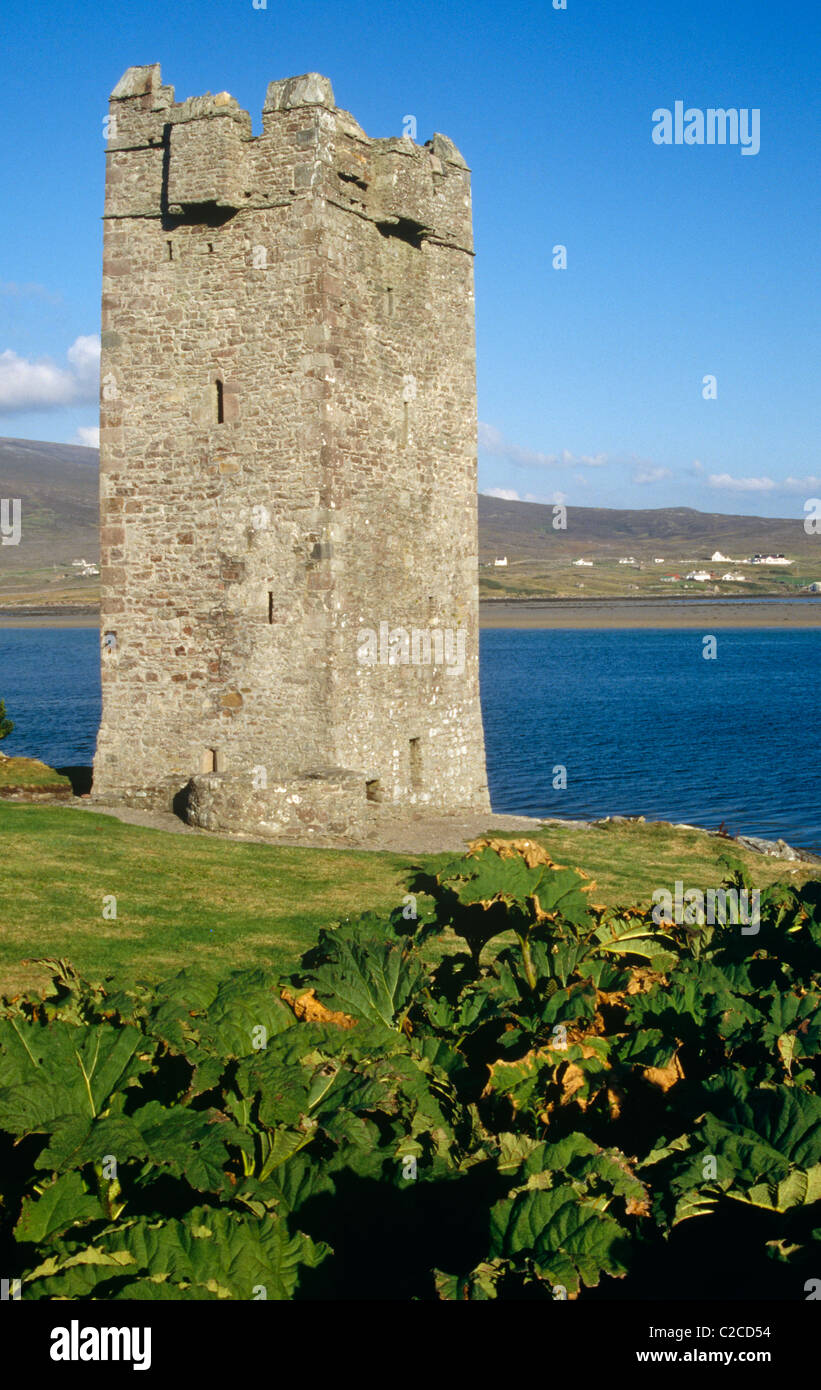 Enclosure in DrumellyEnclosure · 559 yd
 Kilfraughan Church in ruinsChurch · 608 yd
 IndicatedEnclosure · 644 yd
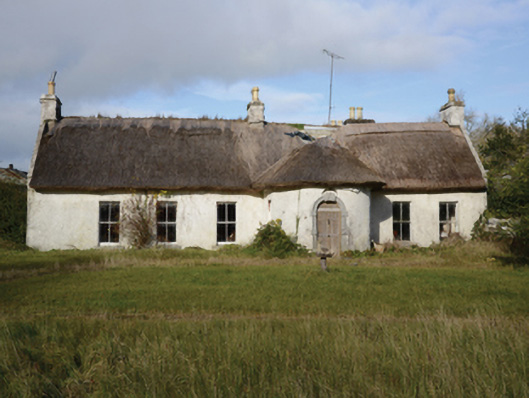 Garracloon Lodgefarm house · 807 yd
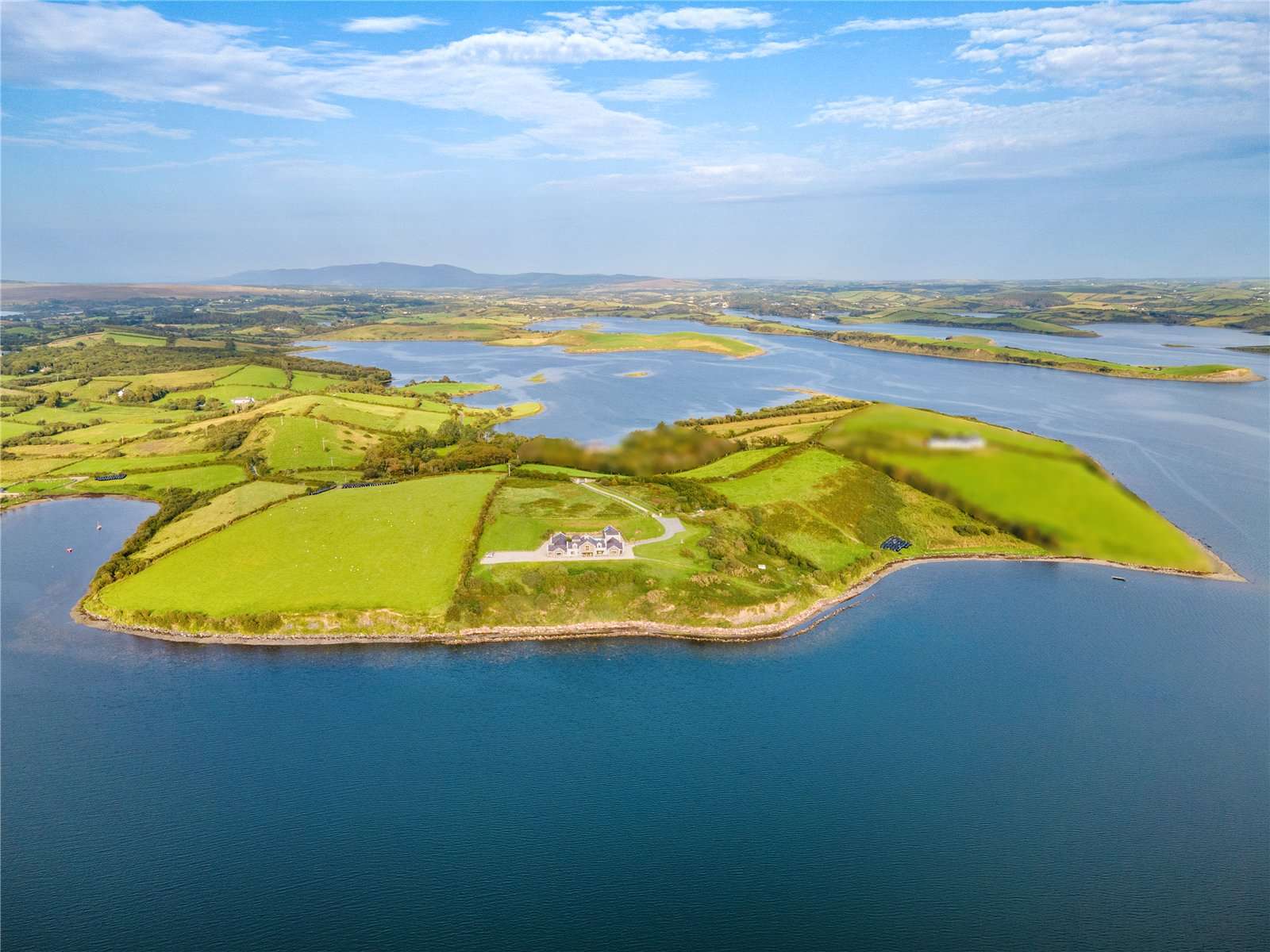 CastleCastle, tower house · 1.0 mi
 Caherduff CastleCastle · 1.1 mi
 Gibbs IslandsIslet · 2.0 mi
 Easter IslandIslet · 2.1 mi
 Cong AbbeyHeritage attraction · 2.9 mi
 Quiet Man MuseumMuseum · 2.9 mi
 European YewEuropean Yew · 2.9 mi
 Silver FirSilver Fir · 3.0 mi