
What is recorded here
In an area of good grazing land, located on an E-W ridge. The site now lies within the bounds of a residential property. A circular enclosure (diam. 35-40m) is shown on the 1838 OS 6-inch map. On the 1929 edition only the SE arc of the enclosure is indicated. It was recorded by Lavelle (1994, 61, no. 450) as ‘Levelled; no visible surface trace’. In 1999 four trial trenches were excavated (99E0699) at this location in advance of the construction of a dwelling house. No features or artefacts of archaeological significance were found. (Crumlish 2000, 228-229, no. 658).
Compiled by: Jane O'Shaughnessy
Date of upload: 8 January 2015
A local fairy fort (ringfort/rath); wider significance not recorded.
The monument record does not grant public access. Check the route and ask the landowner before entering private land.
- What survives
- Recorded monument
Places near here
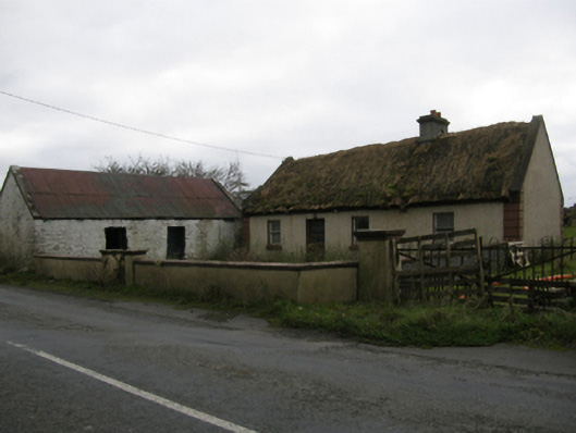 farm housefarm house · 443 yd
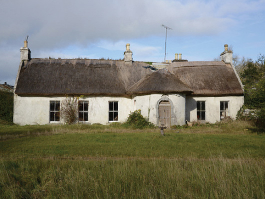 Garracloon Lodgefarm house · 488 yd
 Ballymacgibbon CairnArchaeological place · 789 yd
 Enclosure in GortacurraEnclosure · 1395 yd
 Caherduff CastleCastle · 1627 yd
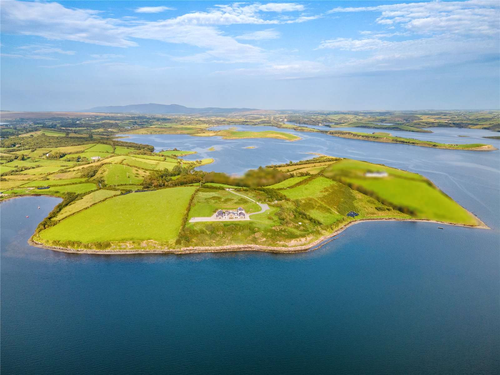 CastleCastle, tower house · 1.2 mi
 Gibbs IslandsIslet · 1.5 mi
 Easter IslandIslet · 1.6 mi
 Cong AbbeyHeritage attraction · 2.5 mi
 European YewEuropean Yew · 2.5 mi
 Quiet Man MuseumMuseum · 2.5 mi
 Silver FirSilver Fir · 2.6 mi
Other information
Photo: Credit not shown in the picture search · Rights wording not checked; contact us if this picture should be removed