What is recorded here
Mound situated in flat poorly drained land on E bank of the River Brosna. A circular round-topped mound (diam. At summit 11m N-S; diam. At base 20m; H 3m) of earth enclosed by a wide fosse (max. Wth 13m) which was waterlogged at the time of last visit. A berm-like feature (Wth 2m) encloses the base of the mound. A shallow depression on its summit may indicate a collapsed cist-grave.
The above description is derived from the published 'Archaeological Inventory of County Offaly' (Dublin: Stationery Office, 1997). In certain instances the entries have been revised and updated in the light of recent research.
Date of upload: 23 May 2011
A Neolithic passage tomb; its waterlogged context may preserve organic remains of archaeological significance.
The monument record does not grant public access. Check the route and ask the landowner before entering private land.
- What survives
- Recorded monument
Places near here
 Croghan Househouse · 796 yd
 Croghan Bridgebridge · 1044 yd
 European BeechEuropean Beech · 1134 yd
 Dawn RedwoodDawn Redwood · 1211 yd
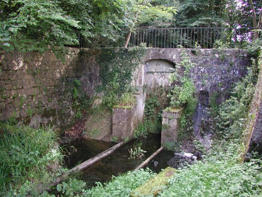 Birr Castlemachinery · 1226 yd
 North LoadstoneMonument · 1610 yd
 The Great Telescope 'Leviathan'Heritage attraction · 1675 yd
 James Franklin FullerMemorial · 1.0 mi
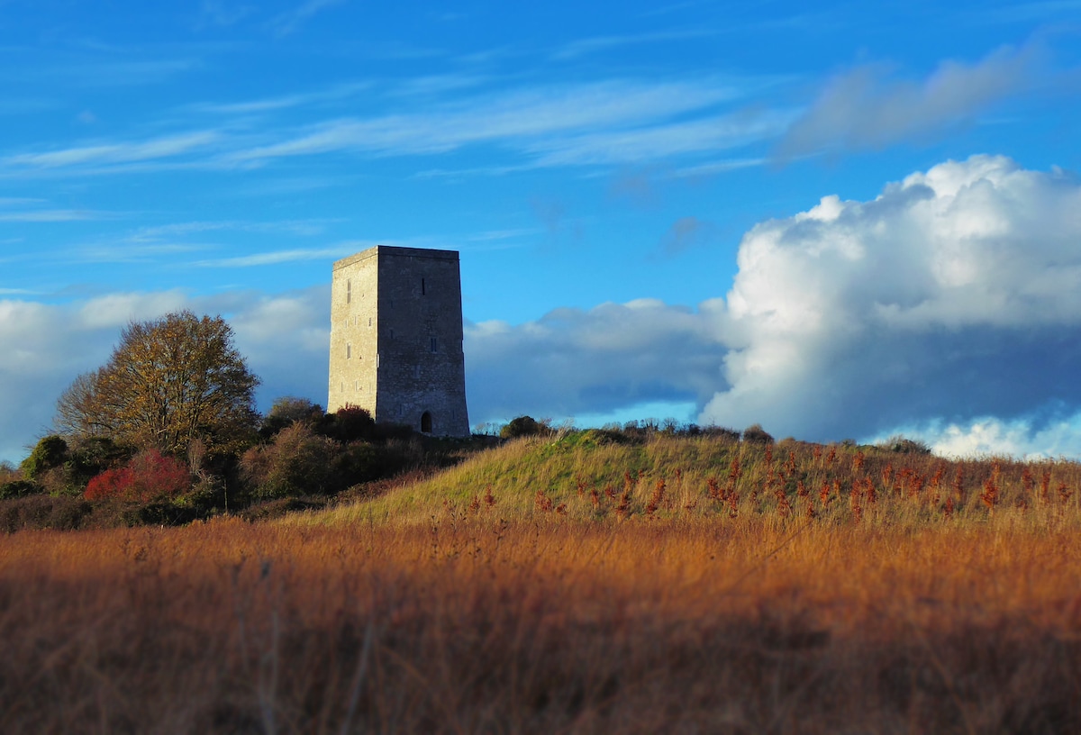 Black Castle (Site of)Castle, motte · 1.1 mi
 Waterfall PointViewpoint · 1.1 mi
 Emmet SquareMonument · 1.1 mi
 Site of Ballindown CastleCastle, unclassified · 1.6 mi