What is recorded here
This record was listed in the SMR(1989) as 'routeway' based on a reference in O'Rorke (1890, 45-8). It is listed in the RMP (1995) as 'road'. It appears to refer to a routeway, indicated by dashed lines on the 1836-7 OS 6-inch map, which extends for c. 1.4km across the sand flats in Druncliffe Bay between Doonierin townland on the S shore and Coolbeg townland on the N shore. It was used at low tide to cross the bay, and joins paved roads on dryland on both the N and S shores. On the N shore a castle (SL008-069----) and salt pans (SL008-068----) are located on the shoreline flanking the dryland road. No trace of any man-made structure is apparent across the sandflats on the line of the route.
Compiled by: Jane O'Shaughnessy
Date of upload: 14 December 2016
The monument record does not grant public access. Check the route and ask the landowner before entering private land.
- What survives
- Recorded monument
Places near here
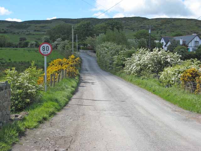 IndicatedHoly well · 524 yd
 Enclosure in CreggEnclosure · 1073 yd
 CastleCastle, unclassified · 1571 yd
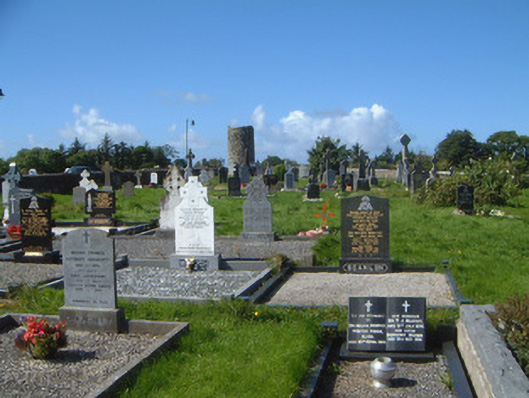 graveyard/cemeterygraveyard/cemetery · 1633 yd
 Grave of WB YeatsHeritage attraction · 1712 yd
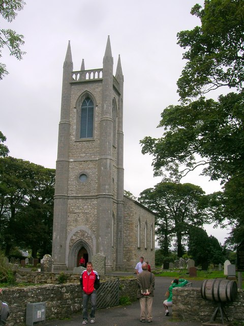 Saint Columba's Church (Drumcliff)church/chapel · 1718 yd
 Drumcliff CemeteryGraveyard · 1720 yd
 Floods WoodForest · 2.0 mi
 Finned PointHeadland · 2.1 mi
 Castle (in Ruins)Castle, unclassified · 2.1 mi
 Paddy McGowan's WoodWood · 2.2 mi
 Waiting on ShoreMemorial · 2.5 mi