
What is recorded here
Situated at the N edge of the top of a low rise or knoll in undulating pasture. Slightly raised circular area (diam. 20.4m) enclosed by a much degraded bank (Wth 1.7-1.9m; int. H 0.1-0.3m; ext. H 0.5-0.6m) of earth and stone. There is a gap (Wth 1m), whose N terminal is lined with a large slab, at E. Close to the centre of the interior is a small circular hut site (SL018-072002-).
Compiled by: Patrick F. O'Donovan
Date of upload: 19 January 2011
The monument record does not grant public access. Check the route and ask the landowner before entering private land.
- What survives
- Recorded monument
Places near here
 IndicatedFairy fort / earthen ringfort · 505 yd
 Man-made underground passage in BallygreighanMan-made underground passage · 1708 yd
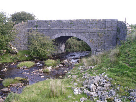 bridgebridge · 1.4 mi
 Skreen Schoolschool · 1.6 mi
 Knockalongy North-East TopMountain / peak · 2.0 mi
 KnockalongyMountain / peak · 2.3 mi
 Aughris BeachBeach / strand · 2.9 mi
 Dunmoran StrandBeach / strand · 3.0 mi
 Aughris HeadHeadland · 3.4 mi
 Valley WoodForest · 3.9 mi
 Bawn in Longford DemesneBawn · 4.1 mi
 Pigeonpark WoodForest · 4.1 mi
Other information
Photo: Credit not shown in the picture search · Rights wording not checked; contact us if this picture should be removed