What is recorded here
On a terrace of gently undulating pasture, broken in parts by rock outcropping, bordered at E by a river ravine. This field system consist of a regular grid of rectangular fields covering an area of c. 400m N-S by c. 250m E-W. At the E and SE there is a concentration of smaller fields (c. 55-60m NE-SW and 25-35m NW-SE) defined by low sod-covered banks/walls (Wth c. 1.8-2.3m; H 0.5-0.8m), covering an area of c. 200m N-S by 125m E-W. Abutting one of the field boundaries are the wall-footings of a rectangular two-roomed house (SL018-045002-) suggesting that some of the smaller fields represent garden plots associated with a small settlement. Towards the SE there is an area of relatively recent small scale quarrying (SL018-045001-). At its S end, the field system incorporates the enclosing elements of a ringfort/cashel (SL018-046001-). To W and N the faint outlines are visible of levelled field boundaries enclosing larger rectangular fields (c. 65-75 NE-SW; c. 80-150m NW-SE) with traces of cultivation ridges. The field system and the rectangular house appear to post-date the ringfort and may be post-1700 in date.
Compiled by: Jane O'Shaughnessy
Date of upload: 27 January 2014
The monument record does not grant public access. Check the route and ask the landowner before entering private land.
- What survives
- Recorded monument
Places near here
 Enclosure in BallyfarisEnclosure · 1389 yd
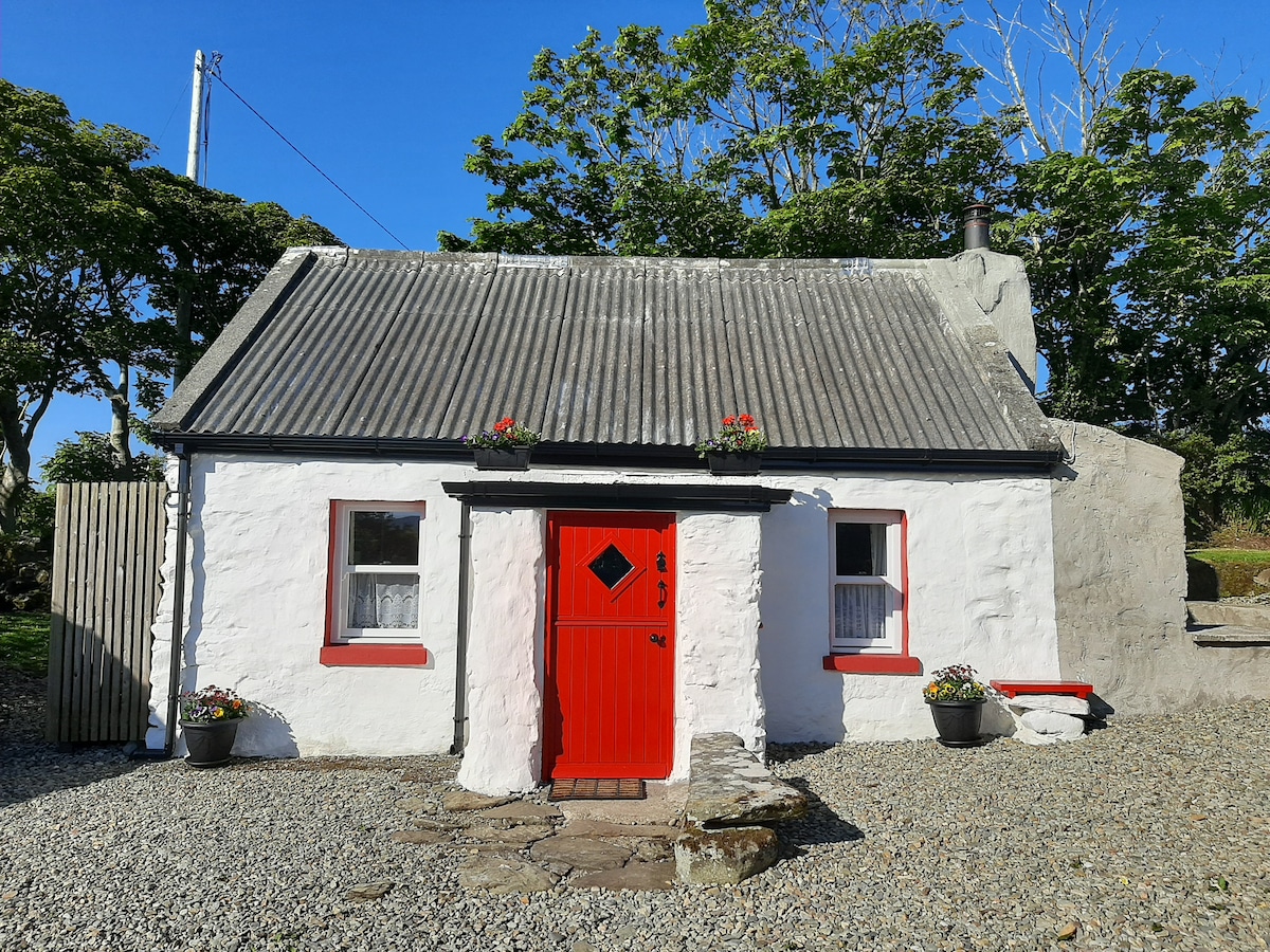 Hut site in BallyfarisHut site · 1416 yd
 Skreen Schoolschool · 1605 yd
 Skreen Churchchurch/chapel · 1.0 mi
 Aughris BeachBeach / strand · 1.9 mi
 Dunmoran StrandBeach / strand · 1.9 mi
 CastleCastle, Anglo-Norman masonry castle · 2.3 mi
 Aughris HeadHeadland · 2.6 mi
 Knockalongy North-East TopMountain / peak · 2.9 mi
 KnockalongyMountain / peak · 3.2 mi
 Valley WoodForest · 3.8 mi
 Bawn in CarrowbrickeenBawn · 3.9 mi