
What is recorded here
Indicated holds two adjoining earthen raths on a sloping Kerry pastureland beside the Ferta river, where a small stream still cuts between them and erodes their southern banks. The western rath preserves a 22m circular interior and a smaller inner circle once noted near its western bank, while the eastern rath keeps a clearer 19.6m chamber, an outer fosse, and the sod-covered remains of a large hut inside. They are not grand or distant, but shaped like lived places: rooms of grass, water and time, with one chamber perhaps kept for a person, a pot, a lamp or a secret the river has since softened.
Two adjoining univallate raths are located in sloping pastureland on the edge of an old meander scarp of the Ferta river, which flows to S. A small stream runs between the two sites and the enclosing elements on both sides of this are somewhat eroded. A field wall overlies and obscures the S sector of the bank of the rath at W. Here the bank is best preserved at W and N, where it is 1.25m high externally, .8m high internally and 2.5m in basal width. The heavily overgrown circular interior measures 22m N-S x 17.5m E-W. Ua Riain noted a ‘smaller circle’ (KE070-049001-) in it, located close to the bank at W and measuring 19 feet (5.8m) in diameter (1927). He also recorded an inaccessible Man-made underground passage (KE070-049002-) located on the E side of this probable hut site. Neither feature can now be identified.
The adjoining rath (KE070-050----) at E is better preserved and measures 19.6m in internal diameter. An external fosse survives from N to SE and averages 3.5m wide. Along this sector the enclosing bank rises 1.9m above the fosse and falls 1.3m to the interior. It measures 1.7m in basal width and features an entrance gap at E. The S and W sectors of the bank are eroded by the stream, which curves around the S perimeter of the rath and may have provided a natural defense here. In the overgrown interior of the site are the remnants of a large circular hut (KE070-050001-), now completely sod-covered. It measures 6.1m x 4.2m in internal diameter, and its walls average 1.15m wide. An entrance gap, 2.6m wide, is located at E.
The above description is derived from A. O'Sullivan and J. Sheehan (compilers), 'The Iveragh peninsula: an archaeological survey of South Kerry'. Cork University Press (1996), no. 501. In certain instances the entries have been revised and updated in the light of recent research.
Date of upload: 1 August 2013
The monument record does not grant public access. Check the route and ask the landowner before entering private land.
- What survives
- Recorded monument
Places near here
 SheepfoldHut site · 1636 yd
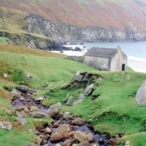 Hut site in Dooneen (iveragh By.)Hut site · 1.1 mi
 KnocknadobarMountain / peak · 1.4 mi
 Killinane Church (in ruins)Church · 2.1 mi
 Knocknadobar North TopMountain / peak · 2.1 mi
 Short Castle (Site of)Castle, unclassified · 2.1 mi
 Carhan Househouse · 2.2 mi
 Laharn Bog LoopWalking route · 3.6 mi
 Mc Crehins Castle (Site of)Castle, unclassified · 4.0 mi
 Foughil IslandIslet · 4.1 mi
 Ballycarbery CastleRuins · 4.3 mi
 Soft Tree-fernSoft Tree-fern · 4.4 mi
Other information
Photo: Credit not shown in the picture search · Rights wording not checked; contact us if this picture should be removed