What is recorded here
Indicated is a ruined fairy fort on a Mayo rise, its western bank still standing while the eastern edge has been clipped and levelled into the pasture. Inside the circle, a long trench bends twice like a forgotten path, bordered by heaps of sod-covered earth and protruding stones. The wet depression separating it from the southern enclosure suggests the fort occupied the drier, higher ground chosen for visibility rather than convenience.
In pasture, close to the boundary on the NW end of the townland, located on a rise, with a natural depression of wettish ground intervening at S–SW between it and another rise, 90m to S, on which an enclosure (MA038-087----) is located.
Circular area (23m E–W; 23.8m N–S) defined by the remnants of a bank. The bank is evident on the W half as a low rise (Wth 3.8m; int. H 0.45m; ext. H 0.6m, at NNW) of earth and stone, quite dilapidated and broadly slumped; on the E half it has been largely levelled, surviving only as a slight scarp, clipped on its outer edge at NE–ESE by a later field fence.
In the NW quadrant of the interior, there is a linear depression or trench (L 7.6m; Wth 2.3m; D 0.45-0.6m) on a NNE–SSW axis. At its SSW end, close to the inner face of the bank, it takes a right-angled turn and continues to SSE for 8.5m, then turns sharply again, possibly continuing for c. 4m to the E but this section is less clearly defined. Heaps of sod-covered earth or upcast border the trenches, and stones protrude from the sod in the base of the trenches.
Compiled by: Jane O'Shaughnessy
Date of upload: 1 August 2019
The monument record does not grant public access. Check the route and ask the landowner before entering private land.
- What survives
- Recorded monument
Places near here
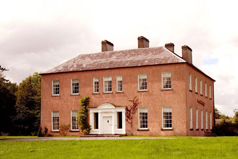 Enclosure in Castlehill (tirawley By., Crossmolina. Par.)Enclosure · 442 yd
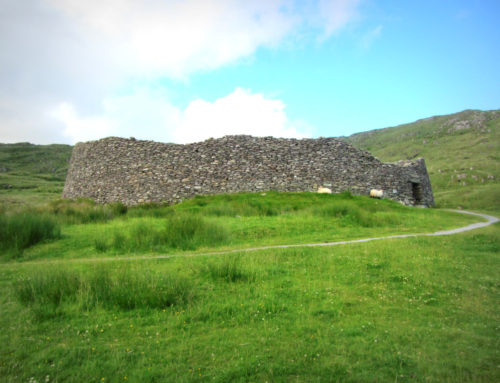 Skehanagh FortArchaeological place · 460 yd
 Church in ruinsChurch · 1.0 mi
 Catholic Church of Our Ladychurch/chapel · 1.0 mi
 RathmoreCastle, motte · 1.1 mi
 Ballyduffy CastleCastle, unclassified · 1.2 mi
 Grave of the KingsArchaeological place · 1.5 mi
 Titanic Memorial ParkMemorial · 2.0 mi
 Castle IslandIslet · 2.4 mi
 Roe IslandIslet · 2.7 mi
 NephinMountain / peak · 3.2 mi
 KnockaffertaghMountain / peak · 6.7 mi