What is recorded here
On W-facing slope of a hill in grassland. Circular rath (D 49m), in fair condition, defined by two banks and an intervening fosse. The fosse and outer bank survive from SW through N to NE; elsewhere a road encircles the monument. There is a causewayed entrance (Wth 2.9m) at N. The interior rises towards the centre and there is an oval hollow (NW-SE 6m, NE-SW 4.2m) in N sector. A probable Man-made underground passage (GA059-028001-) is associated. (Claffey 1983, 151-2)
The above description is derived from the published 'Archaeological Inventory of County Galway Vol. II - North Galway'. Compiled by Olive Alcock, Kathy de hÓra and Paul Gosling (Dublin: Stationery Office, 1999).
Date of upload: 05 August 2010
The monument record does not grant public access. Check the route and ask the landowner before entering private land.
- What survives
- Recorded monument
Places near here
 J. Costellohouse · 1.0 mi
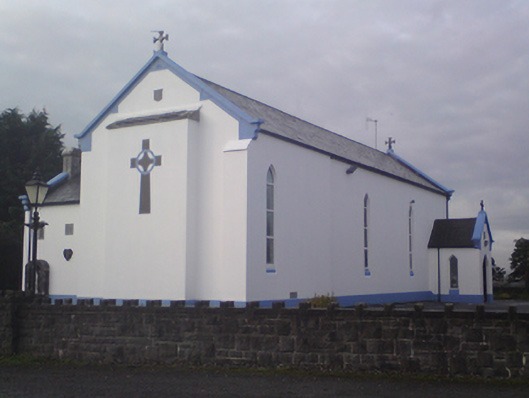 Saint Mary's Catholic Churchchurch/chapel · 1.0 mi
 Garbally Castle (in ruins)Castle, tower house · 1.4 mi
 IndicatedEnclosure · 1.6 mi
 Menlough IRAMemorial · 1.6 mi
 Clooncurreen CastleCastle · 1.8 mi
 Cross KerrillCross · 2.9 mi
 SycamoreSycamore · 3.8 mi
 HawthornHawthorn · 4.2 mi
 Knockmoy AbbeyHeritage attraction · 5.6 mi
 Kilconnell AbbeyHeritage attraction · 11 mi
 R. C. ChapelChurch · 1.5 mi