What is recorded here
Indicated, Derrydonnell More is an outer bawn beside Derrydonnell Castle in County Galway, Ireland. Its collapsed walls still mark a rectangular space where thorn bushes and rubble hide the line of a lost building. The surviving stretch on the NE side rises higher than the rest, proving the place was built to keep something inside or exclude someone from entering.
This outer bawn (28.5m NW-SE; 20.5m NE-SW) extends off the NW side of the inner bawn (GA095-028001-) surrounding 'Derrydonnell Castle' (GA095-028----). It is defined by a much-collapsed wall (H 1-2m; Wth 1.6m), apart from a short 2m stretch of the NE wall where it is best preserved (H 3-4m; Wth 2m). The walls are heavily overgrown with thorn bushes and piles of rubble are visible along the internal face of the NW wall. Cody (1989, 366-7) recorded that a substantial drystone wall (L 8m) extended off the N angle of the inner bawn and ran NW
towards another equal length of a high masonry wall, also running NW. The latter appeared to be a gable wall and it abutted another drystone field wall running at right angles to it. The gable wall is probably the remains of the building shown in the interior of this bawn on the 1839 edition of the OS 6-inch map and the field wall was probably built on the line of its NW wall.
Compiled by: Olive Alcock
Date of upload: 13 July 2023
The monument record does not grant public access. Check the route and ask the landowner before entering private land.
- What survives
- Recorded monument
Places near here
 Derrydonnell Castle (in ruins)Castle, tower house · 16 yd
 TemplegalChurch · 360 yd
 Enclosure in Derrydonnell More,moyveelaEnclosure · 527 yd
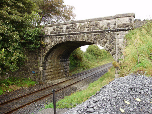 Derrydonnell Bridgebridge · 1485 yd
 IndicatedFairy fort / stone ringfort · 1531 yd
 Bawn in MoyveelaBawn · 1731 yd
 Loughaun WoodWood · 3.4 mi
 Athenry AbbeyHeritage attraction · 3.6 mi
 Horse-chestnutHorse-chestnut · 3.6 mi
 Athenry CastleHeritage attraction · 3.7 mi
 First Battle of Athenrybattle · 3.9 mi
 Rabbit IslandIslet · 7.7 mi