
What is recorded here
Indicated is a vanished fairy fort in Galway pasture, recorded only as a thirty-five-metre circular enclosure and a possible underground passage. The land has been reclaimed, the stones erased, and the fort reduced to a coordinate and a warning that something was hidden there. It is the kind of place that stops being visible because people stopped believing it could be found.
In reclaimed pastureland. Marked on the 3rd edition of the OS 6-inch map (1933) as a circular enclosure (diam. c. 35m) and classified by McCaffrey (1952, 154, no. 19a) as a 'Stone fort' defined by a semicircular drystone wall (L c. 23.3m). No visible surface trace survives. A possible Man-made underground passage (GA096-066001-) is associated.
Compiled by: Galway Archaeological Survey, UCG
Date of upload: 29 November 2017
The monument record does not grant public access. Check the route and ask the landowner before entering private land.
- What survives
- Recorded monument
Places near here
 CahermoreFairy fort / stone ringfort · 1052 yd
 TemplegalChurch · 1174 yd
 Bawn in MoyveelaBawn · 1195 yd
 Derrydonnell Castle (in ruins)Castle, tower house · 1517 yd
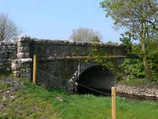 Whistle Bridgebridge · 1610 yd
 CaherhenryFairy fort / stone ringfort · 1679 yd
 Kilcornan WoodWood · 2.5 mi
 Loughaun WoodWood · 3.2 mi
 Athenry AbbeyHeritage attraction · 3.6 mi
 Athenry CastleHeritage attraction · 3.7 mi
 First Battle of Athenrybattle · 4.1 mi
 Rabbit IslandIslet · 8.1 mi
Other information
Photo: Credit not shown in the picture search · Rights wording not checked; contact us if this picture should be removed