What is recorded here
Situated on a gentle W-facing slope in an area of mixed rough rock and patchy grazing. Listed as ‘Enclosure’ in the SMR (1992) and the RMP (1996). Indicated by a solid line on the 1916 OS 6-inch map. On inspection in 1997 this was found to be an irregular field defined by a partially collapsed single drystone wall. This enclosed field is one of several forming a cluster to the N, E and SE of a ringfort (CL006-159----).
Compiled by: Mary Tunney
Date of upload: 8 February 2016
The monument record does not grant public access. Check the route and ask the landowner before entering private land.
- What survives
- Recorded monument
Places near here
 Concentric enclosure in Deelin MoreConcentric enclosure · 43 yd
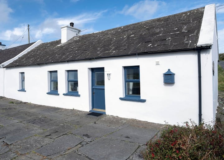 Enclosure in Deelin MoreEnclosure · 67 yd
 Turlough CastleArchaeological place · 1.1 mi
 Castle Mael (in ruins)Castle, unclassified · 1.1 mi
 PoulnabroneMemorial · 2.3 mi
 Aillwee CaveCave · 2.5 mi
 Aillwee Cave Visitor Centreheritage centre/interpretative centre · 2.5 mi
 Bird Of Prey CentreHeritage attraction · 2.6 mi
 Turlough HillMountain / peak · 2.7 mi
 Gleninshing portal tombHeritage attraction · 2.8 mi
 Saint Columba's Catholic Churchchurch/chapel · 2.9 mi
 The Portal TombVisitor information · 3.1 mi