
What is recorded here
Indicated is a submerged crannog in Inner Lough, County Monaghan, where animal bones and charcoal still scatter across a narrow strip of land. The site rises barely sixty centimetres above the water, yet it continues downward through eighteen metres of lake bed. People may have stood there during low water, marking the place or sharing food beside the shore. The lake has taken most of the answer, leaving only a small overgrown ridge and the remains of lives lived around it.
Located towards the NE end of Inner Lough, c. 400m from the NE end and c. 120m and c. 160m from the nearest points of the NW and SE shores of the lake. It is depicted as a small island on the 1834 and 1907 editions of the OS 6-inch map. This is a small overgrown cairn (dims 9m x 6m; H 0.6m above water) with no structural features visible but animal bones and charcoal are plentiful on the surface. The cairn can be seen extending below the water (diam. c. 16-18m; D 0.8-1.5m).
The above description is derived from the published 'Archaeological Inventory of County Monaghan' (Dublin: Stationery Office, 1986). In certain instances the entries have been revised and updated in the light of recent research.
Revised by: Michael Moore
Date of revision: 19 June 2018
The monument record does not grant public access. Check the route and ask the landowner before entering private land.
- What survives
- Recorded monument
Places near here
 Holy Trinity Catholic Churchchurch/chapel · 850 yd
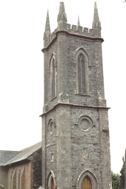 Church of Saint John the Evangelist (Ematris)church/chapel · 855 yd
 Back WoodForest · 876 yd
 Fedd HillMountain / peak · 984 yd
 Dawson MonumentMonument · 1011 yd
 Dartrey ForestForest · 1022 yd
 Diamond HillMountain / peak · 1023 yd
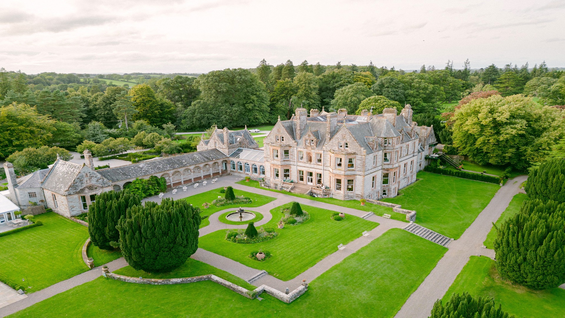 Embanked enclosureFairy fort / earthen ringfort · 1247 yd
 Bawn in DrumsheilBawn · 5.0 mi
 Site of Old CastleCastle, unclassified · 5.1 mi
 Senator Billy Fox 1939 - 1974Memorial · 6.4 mi
 Gull IslandIslet · 9.1 mi
Other information
Photo: Credit not shown in the picture search · Rights wording not checked; contact us if this picture should be removed