What is recorded here
In pasture, on high ground. Circular area (6.4m N-S; 7m E-W), enclosed by earthen bank (H 0.45m); levelled W to NNW.
The above description has been derived from D. Lavelle (compiler), An Archaeological Survey of Ballinrobe and District including Lough Mask and Lough Carra. Lough Mask and Lough Carra Tourist Development Association (1994), No. 43.
Date of upload: 24 January 2013
The monument record does not grant public access. Check the route and ask the landowner before entering private land.
- What survives
- Recorded monument
Places near here
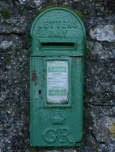 post boxpost box · 566 yd
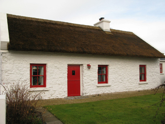 farm housefarm house · 601 yd
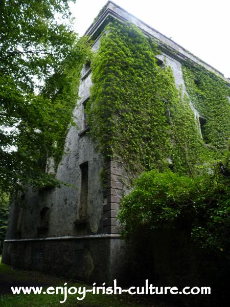 Ecclesiastical enclosure in Cullentragh (clanmorris By.)Ecclesiastical enclosure · 1413 yd
 Enclosure in Summerhill NorthEnclosure · 1575 yd
 Bawn in BellanaloobBawn · 2.3 mi
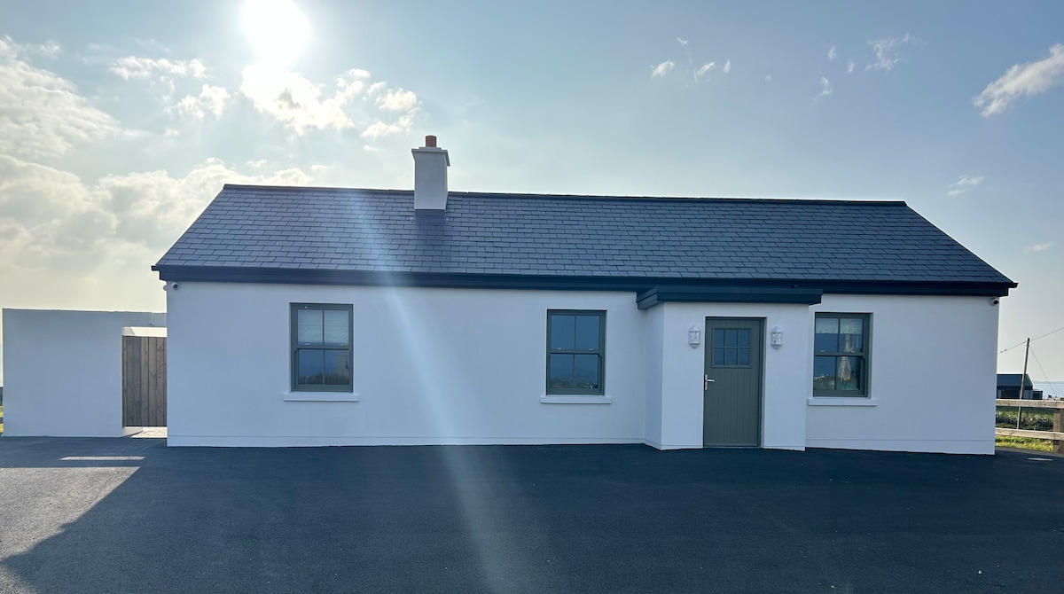 Bawn in KnockaunakillBawn · 2.7 mi
 Moore Hall Forest TrailWalking route · 4.3 mi
 Cerberus, from Thomastown HouseMemorial · 4.4 mi
 Creevagh IslandIslet · 4.4 mi
 Connors IslandIslet · 4.5 mi
 Moore Hall ForestForest · 4.6 mi
 Kiltoom PointHeadland · 4.7 mi