
What is recorded here
Circular area (int. diam. 46m) enclosed by the remains of a drystone wall (Wth 3.5m). Site is divided into two unequal portions by a field boundary running NW-SE. Remains of outer wall at NW and SE. Original entrance not recognisable. Known locally as a 'fort'.
The above description is derived from the published 'Archaeological Inventory of County Cavan' (Dublin: Stationery Office, 1995). In certain instances the entries have been revised and updated in the light of recent research.
Date of upload/revision: 22 December 2008
A local fairy fort (ringfort/rath); wider significance not recorded.
The monument record does not grant public access. Check the route and ask the landowner before entering private land.
- What survives
- Recorded monument
Places near here
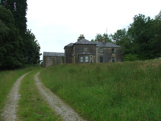 Tircahan Lodgefarm house · 1435 yd
 Tory HoleCave · 1579 yd
 Enclosure in BrackleyEnclosure · 1.1 mi
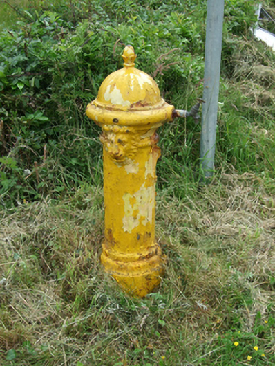 water pumpwater pump · 1.2 mi
 PolldooCave · 1.2 mi
 RowanRowan · 1.3 mi
 Grainne's GraveArchaeological place · 1.3 mi
 HawthornHawthorn · 1.4 mi
 BrackleyMountain / peak · 1.5 mi
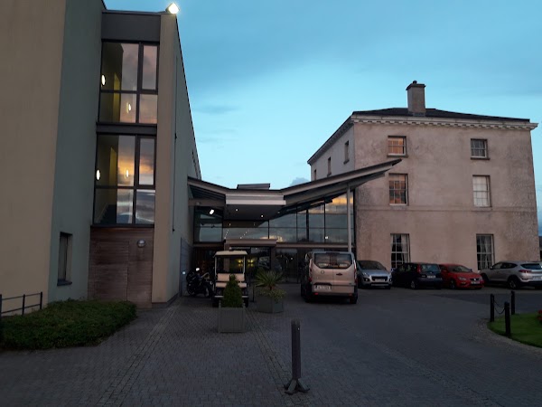 DrumbarMountain / peak · 1.6 mi
 ToberpatrickHoly well · 1.6 mi
 Out-Doors and DirtyHeritage attraction · 1.9 mi
Other information
Photo: Credit not shown in the picture search · Rights wording not checked; contact us if this picture should be removed