What is recorded here
Indicated is a circular earthen fort on a Mayo ridge, its curved wall partly hidden by blackthorn and field fences while a stone kerb still marks the southern edge. The centre holds a slightly raised level area and a dark underground passage, suggesting people once lived beneath the pasture rather than beside it. Two other forts watch from nearby ridges, forming a quiet triangle of ancient rooms where cattle now graze.
In pasture, located on top of a ridge, but below the highest point.
Slightly raised circular area (34.4m E–W; 28m N−S) defined by a scarp. At NE−SE the scarp is very low and degraded where it is incorporated into a field fence; it is topped with a post and wire fence, overlain in parts by field clearance stones, and obscured by blackthorn scrub. At SSE−W the scarp retains a slightly raised stony internal rim, and the base of its external slope is defined by a close-set kerb of large stones. At WNW−NW the scarp is truncated by a straight N−S field wall, and at NNW−NNE the scarp is incorporated into a field wall that respects the curve of the enclosure. The centre and NW quadrant of the interior is level and at a slightly higher level that the rest of the interior; this elevated area is demarcated by a slight slope or scarp that curves through from NE through the centre of the interior to W. There is a Man-made underground passage (MA062-087002-) in the S half of the interior.
A small corrugated iron shed stands adjacent to the rath at NW. There is a rath (MA062-088----) c. 150 m to ENE, and another rath (MA062-089001-) c. 300m to SE on the summit of a ridge.
Compiled by: Jane O’Shaughnessy
Date of upload: 7 December 2020
The monument record does not grant public access. Check the route and ask the landowner before entering private land.
- What survives
- Recorded monument
Places near here
 IndicatedFairy fort / earthen ringfort · 377 yd
 ToberbrideHoly well · 895 yd
 Brabazon WoodsForest · 999 yd
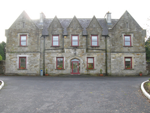 Swinford Union Workhouseworkhouse · 1176 yd
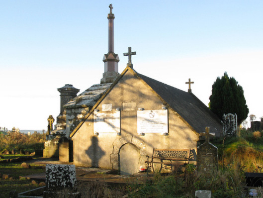 mausoleummausoleum · 1212 yd
 Procession Of The SoulsMemorial · 1227 yd
 Youth Memorial GardenMemorial · 1.0 mi
 HawthornHawthorn · 2.9 mi
 Castle (in Ruins)Castle, unclassified · 3.2 mi
 Hennigan's Heritage CentreHeritage attraction · 3.3 mi
 Thorn CaveCave · 3.6 mi
 Kiltimagh MuseumMuseum · 6.8 mi