What is recorded here
In level pasture and occupied by a farmyard with a modern house to the E. Associated with ’Crughwill Castle’ (CL010-016----) which stood at its E-edge. Indicated on the first edition (1840) and partially hachured on the later, Cassini edition (1916) of the OS 6-inch map which depicts a large rectangular area (dims. L c. 57m NW-SE; Wth c. 36m NE-SW) enclosed by a wall with a wide outer fosse or ditch shown along the NW (Wth c. 6-7m) and SW (Wth c. 4-5m) sides.
According to Ua Cróinín and Breen (1995, 60), the southern wall is ‘probably pre-16th century’ in date, while the bases of the eastern and western walls ‘seem also to be late medieval’ in date.
See attached document CL010-016001_01.jpg with details from Risteárd Ua Cróinín and Martin Breen, The Castles and Tower-houses of Co. Clare (unpublished report). Uploaded courtesy of R. Ua Cróinín and M. Breen.
Compiled by: Gearóid Conroy
Date of upload: 13 December 2022
The monument record does not grant public access. Check the route and ask the landowner before entering private land.
- What survives
- Recorded monument
Places near here
 Castle (in ruins)Castle, unclassified · 1 yd
 Saint Columba's Catholic Churchchurch/chapel · 227 yd
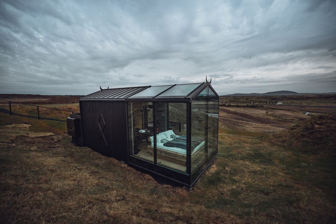 Enclosure in SladooEnclosure · 521 yd
 IndicatedChurch · 571 yd
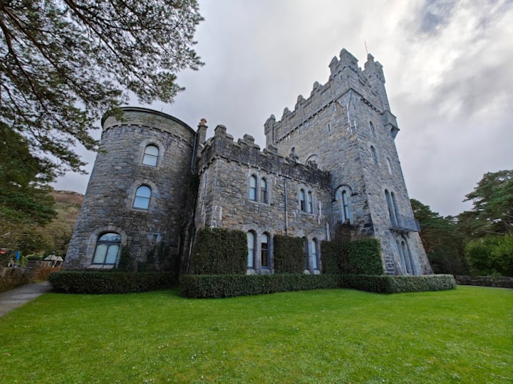 Enclosure in Rannagh WestEnclosure · 657 yd
 Castle in ruinsCastle, tower house · 1559 yd
 PoulnabroneMemorial · 2.0 mi
 Farbrega RockNamed rock · 2.1 mi
 The Portal TombVisitor information · 2.6 mi
 Poulnabrone - Burren GeositeVisitor information · 2.7 mi
 Poulnabrone DolmenHeritage attraction · 2.7 mi
 CaherconnellHeritage attraction · 2.7 mi