What is recorded here
Listed as ‘Earthwork’ in the SMR (1992) and the RMP (1996). A small hachured feature is visible on the 1923 ed. of the OS 6-inch map. This is hachured and named on the OS 25-inch map (1898) as ‘Gravel pit (disused)’. On inspection in November 2000 a scarp associated with the gravel pit was found to be used as part of a flower bed.
Compiled by: Mary Tunney
Date of upload: 16 March 2015
The monument record does not grant public access. Check the route and ask the landowner before entering private land.
- What survives
- Recorded monument
Places near here
 Enclosure in Cross MoreEnclosure · 1190 yd
 Benvoran RingfortArchaeological place · 1522 yd
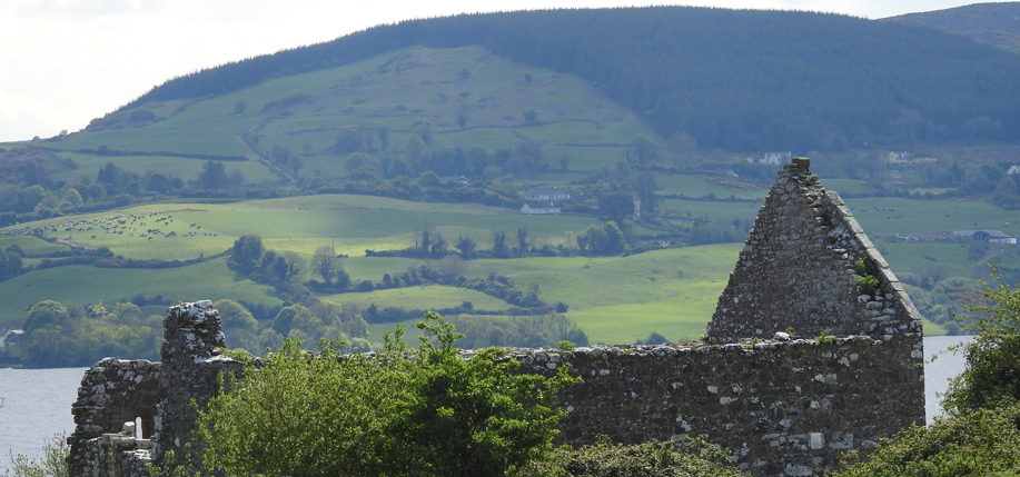 Derrycrossaun Castle (Site of)Castle, unclassified · 1.3 mi
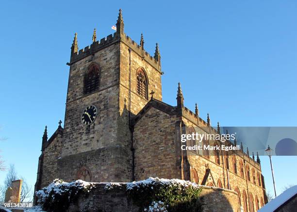 St Michaels Church (in Ruins)Church · 2.1 mi
 Knockalough Castle (in Ruins)Castle, unclassified · 2.1 mi
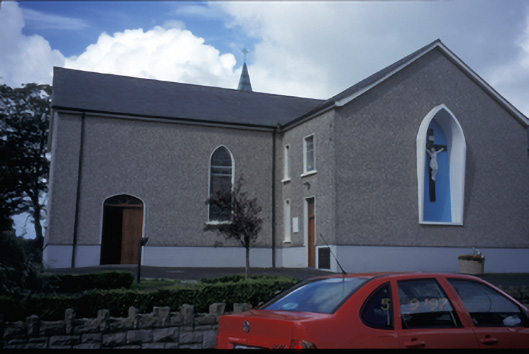 Catholic Church of Saint Michael the Archangelchurch/chapel · 2.2 mi
 Crag WoodWood · 3.9 mi
 Clonderalaw BayBay · 4.8 mi
 Labasheeda QuayVisitor information · 5.4 mi
 Labasheeda PointHeadland · 5.5 mi
 St Senan's WellSpring · 5.8 mi
 Vandeleur Walled GardenHeritage attraction · 7.9 mi