What is recorded here
Not included in the SMR (1989) but listed in the RMP (1995) and classified 'Field System'. A ruined 18th/19th-century rectangular house (int. 8.8m E-W; 3.5m N-S) is located in the intervening space between the SE walls of the cashel (SL019-176001-). The stone-built house is gable-ended and is sub-divided into three rooms. There are wall cupboards in the thickness of the walls but no fireplace is evident. There is a window and doorway in the S wall. A second structure of similar size but of irregular in plan is located a few meters to W. The modification/rebuilding of the cashel walls, and various small subdivisions of the intervening space between the two cashel walls, are most likely associated with this settlement. A pattern of subrectangular fields, indicated on the 1913 edition of the OS 6-inch map, links this house with the ruins of another settlement of two houses located on a terrace, c. 300-400m upslope to SE. The fields, on a NE-SW axis, are generally subrectangular and are enclosed by ruined drystone walls (Wth 0.8-1m). They conform to the undulating local topography of irregular bedrock terraces and scarps.
Compiled by: Archaeological Survey Unit, UCC
Date of upload: 11 January 2012
The monument record does not grant public access. Check the route and ask the landowner before entering private land.
- What survives
- Recorded monument
Places near here
 IndicatedEnclosure · 385 yd
 Fairy fort / earthen ringfort in LarkhillFairy fort / earthen ringfort · 581 yd
 DoomoreMountain / peak · 931 yd
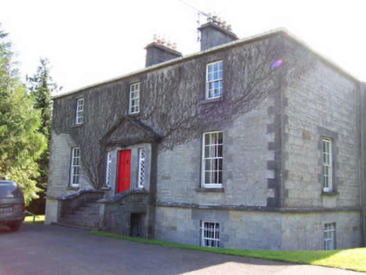 Toberfeckin Houserectory/glebe/vicarage/curate's house · 1.3 mi
 Tullaghan HillMountain / peak · 1.4 mi
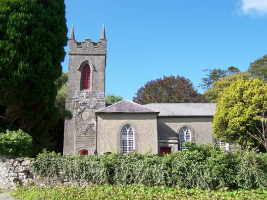 Christ Church (Dromard)church/chapel · 1.5 mi
 RinnatalleenHeadland · 1.8 mi
 Derinch PointHeadland · 1.8 mi
 Bawn in Tanrego WestBawn · 2.1 mi
 European ashEuropean ash · 2.1 mi
 Moymlough Castle (in Ruins)Castle, tower house · 2.6 mi
 Giant's GraveArchaeological place · 2.8 mi