
What is recorded here
Listed in both the SMR (1989) and the RMP (1995) and classified 'Enclosure'. In rocky pasture, on the lower N-facing slopes of the Ox mountains and within a field system (SL019-161004-). Roughly circular area (13m N-S; 14.2m E-W) enclosed by a roughly built drystone wall (Wth 1.3m; H 1.2m). Upon inspection in 1994 it was concluded that this was probably an enclosure for holding animals dating to the post-1700 AD period.
Compiled by: Archaeological Survey Unit, UCC
Date of upload: 21 November 2011
The monument record does not grant public access. Check the route and ask the landowner before entering private land.
- What survives
- Recorded monument
Places near here
 Fairy fort / earthen ringfort in LarkhillFairy fort / earthen ringfort · 204 yd
 Enclosure in LarkhillEnclosure · 395 yd
 DoomoreMountain / peak · 1313 yd
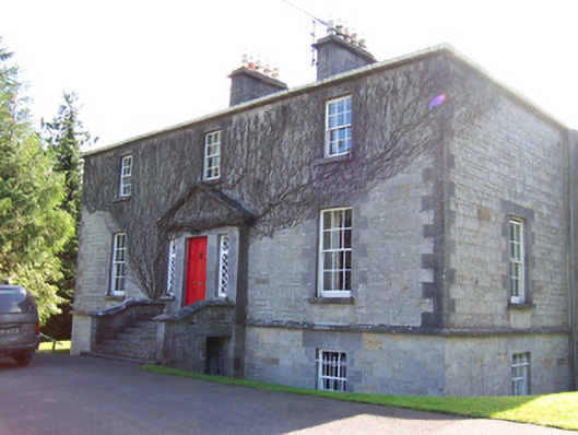 Toberfeckin Houserectory/glebe/vicarage/curate's house · 1.1 mi
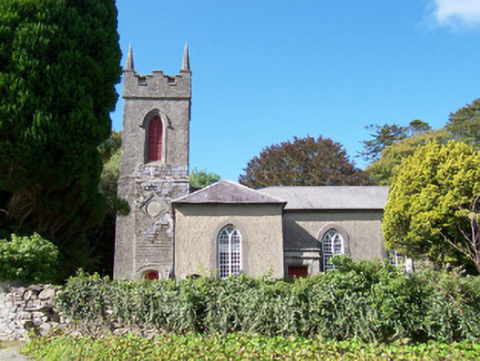 Christ Church (Dromard)church/chapel · 1.3 mi
 Tullaghan HillMountain / peak · 1.6 mi
 Derinch PointHeadland · 1.7 mi
 RinnatalleenHeadland · 1.8 mi
 European ashEuropean ash · 1.9 mi
 Bawn in Tanrego WestBawn · 1.9 mi
 Giant's GraveArchaeological place · 2.6 mi
 Moymlough Castle (in Ruins)Castle, tower house · 2.8 mi
Other information
Photo: Credit not shown in the picture search · Rights wording not checked; contact us if this picture should be removed