What is recorded here
Indicated is a fairy fort or stone ringfort in Creggyconnell, County Sligo, Ireland. A 1991 field report recorded a possible underground passage inside the dense scrub. Field walls now cross the limestone bank, which stands 5.5m wide and 0.3m high around the 25m diameter circle.
Situated on level ground in gently undulating pasture 100m to NW of enclosure (SL008-118----). Slightly raised circular area (diam. c. 25m) enclosed by a bank of rubble limestone (Wth 5.5m; int. H 0.3m). There is no fosse visible at ground level. From N-NE the bank has been removed and large field clearance boulders dumped in its place. An E-W orientated drystone field wall crosses the bank at NW extending to the inner face of the bank at NE and along the inner face of the cashel bank NE-E. A NW-SE orientated drystone field wall links to the external side of the bank at SSE. The original entrance is not recognisable. However the interior is densely overgrown with scrub and inaccessible across the S two-thirds A field report dating to 1991 (SMR (1989) file) recorded a possible Man-made underground passage (SL008-117002-) within the interior.
Compiled by: Patrick F. O'Donovan
Date of upload: 21 April 2011
This remains an important historical record, but the official description says the monument is no longer visible or has been destroyed. The monument record does not grant public access. Check the route and ask the landowner before entering private land.
- What survives
- No visible remains or recorded as destroyed
Places near here
 IndicatedFairy fort / earthen ringfort · 149 yd
 LiscarraghFairy fort / earthen ringfort · 462 yd
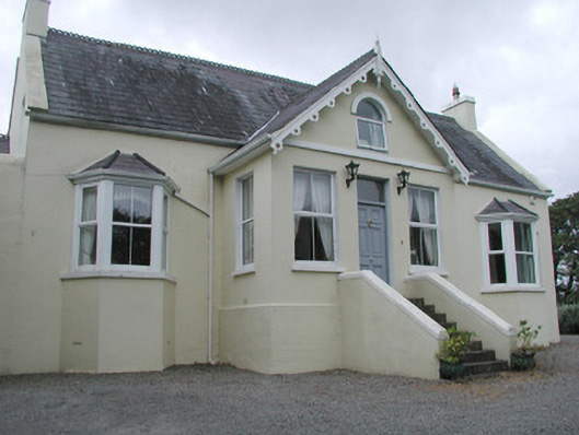 Saint Helen'shouse · 1346 yd
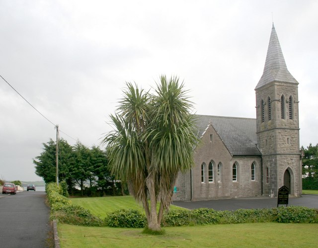 Rosses Point Church (Drumcliff)church/chapel · 1672 yd
 CastleCastle, unclassified · 1.3 mi
 Grave of WB YeatsHeritage attraction · 1.7 mi
 Waiting on ShoreMemorial · 1.7 mi
 Drumcliff CemeteryGraveyard · 1.7 mi
 Oyster IslandIslet · 1.7 mi
 Finned PointHeadland · 1.8 mi
 Rosses Point BeachBeach / strand · 1.9 mi
 Drumcliff BayBay · 2.1 mi