What is recorded here
In gently undulating pasture, situated on the summit of a rise with a fall of ground to SE and S. Not marked on the 1836-7 OS 6-inch map but depicted on the 1940-1 edition as a roughly circular enclosure (diam. c. 10-12m). The enclosure has been levelled but a slight raised circular undulation (diam. c. 12m N-S) is still evident. There is a cashel (SL008-117001-) c. 75m to NW and a rath (SL008-116----) c. 90m to NNE.
Compiled by: Patrick F. O'Donovan
Date of upload: 21 April 2011
The monument record does not grant public access. Check the route and ask the landowner before entering private land.
- What survives
- Recorded monument
Places near here
 IndicatedFairy fort / earthen ringfort · 136 yd
 Enclosure in CreggEnclosure · 421 yd
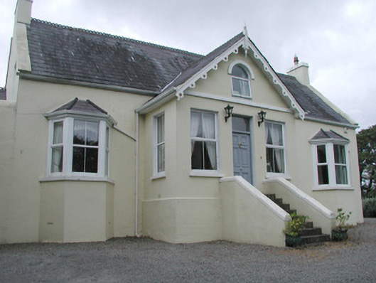 Saint Helen'shouse · 1251 yd
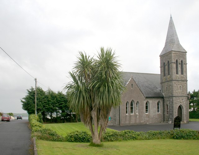 Rosses Point Church (Drumcliff)church/chapel · 1729 yd
 CastleCastle, unclassified · 1.3 mi
 Grave of WB YeatsHeritage attraction · 1.7 mi
 Drumcliff CemeteryGraveyard · 1.7 mi
 Oyster IslandIslet · 1.7 mi
 Waiting on ShoreMemorial · 1.7 mi
 Finned PointHeadland · 1.8 mi
 Rosses Point BeachBeach / strand · 1.9 mi
 Drumcliff BayBay · 2.2 mi