What is recorded here
Indicated is a subcircular pasture enclosure on a north-facing rise in County Mayo, Ireland, half a kilometre from a stone circle cluster. A steep scarp and field fence border its edges, while a large boulder-topped stone sits near the centre. People may have gathered there for ceremony, marked territory or simply enjoyed the view, but the arrangement suggests more than casual use.
In pasture, on summit of N-facing rise, 0.5km from stone circle cluster (MA120-046----), subcircular raised area (120m N–S; 130m E–W), defined N to SW by steep scarp 9H 1.9m), overlain on N by stone field fence. Large stone (L 1.8m; T 0.4m), topped with boulders, centrally placed in site’s interior. Site possibly of some ceremonial significance.
The above description has been derived from D. Lavelle (compiler), An Archaeological Survey of Ballinrobe and District including Lough Mask and Lough Carra. Lough Mask and Lough Carra Tourist Development Association (1994), No. 440.
Date of upload: 12 December 2014
The monument record does not grant public access. Check the route and ask the landowner before entering private land.
- What survives
- Recorded monument
Places near here
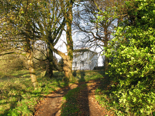 rectory/glebe/vicarage/curate's houserectory/glebe/vicarage/curate's house · 350 yd
 Stone CircleStone circle · 433 yd
 Kelly's CaveCave · 923 yd
 Ashford Castlegate lodge · 931 yd
 ToberdrumsheelHoly well · 1121 yd
 Cong AbbeyHeritage attraction · 1686 yd
 Quiet Man MuseumMuseum · 1690 yd
 TonacashlanCastle, unclassified · 1734 yd
 European YewEuropean Yew · 1748 yd
 Caherduff CastleCastle · 1.0 mi
 Silver FirSilver Fir · 1.2 mi
 Easter IslandIslet · 1.5 mi