What is recorded here
Situated on a SW-facing slope beneath a pinnacle of rock outcrop. A D-shaped enclosure (int. dims. 11.5m NE-SW; 10m NW-SE) with the straight edge at NE formed by the rock outcrop. The perimeter (Wth c. 1m; H 0.5m) is defined by large stones and there is some double-faced drystone walling at NW. The interior slopes severely to the SW and contains spreads of fist-sized stones probably from field clearance. Named ‘Sheepfold’ on the OS 25-inch map.
Compiled by: Mary Tunney
Date of upload: 3 August 2016
The monument record does not grant public access. Check the route and ask the landowner before entering private land.
- What survives
- Recorded monument
Places near here
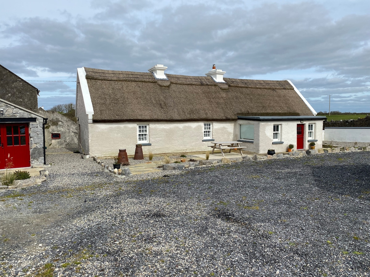 Enclosure in Creevagh (ibrickan By.)Enclosure · 779 yd
 IndicatedFairy fort / earthen ringfort · 1.4 mi
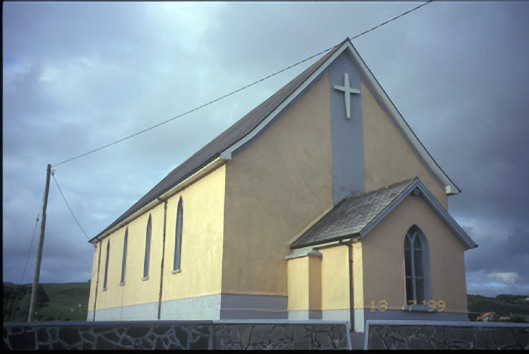 Catholic Church of the Most Holy Redeemerchurch/chapel · 1.4 mi
 Doonogan Castle (Site of)Castle, tower house · 1.6 mi
 Knockanalban Castle (Site of)Castle, unclassified · 2.7 mi
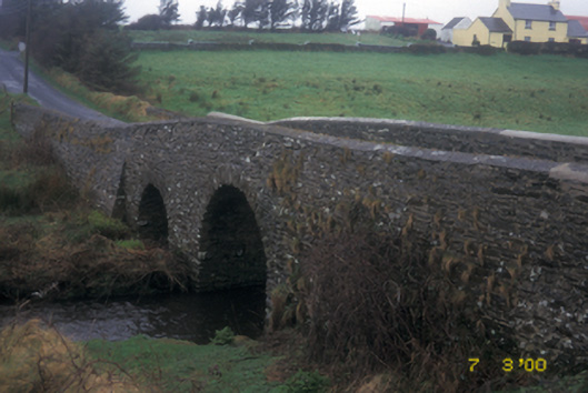 Aghy Bridgebridge · 2.9 mi
 SlievecallanMountain / peak · 4.4 mi
 Kilcorcoran Grave YardArchaeological place · 5.2 mi
 The Music Makers of West ClareMuseum · 5.5 mi
 Spanish Point BeachBeach / strand · 5.6 mi
 Emlagh PointHeadland · 5.9 mi
 Seafield North BeachBeach / strand · 6.6 mi