
What is recorded here
Indicated is a vanished fort on a Galway hillock, knocked down in 1922 and hidden beneath mature beech trees. Maps tracked its shrinking outline for decades before local memory revealed the true shape. The land swallowed the boundary while the trees kept the secret.
On a hillock in pastureland, overlooking marshland to the W. Marked on the 1838 edition of the OS 6-inch map as an unenclosed subcircular mixed tree plantation (c. 45m N-S; c. 43m E-W). On the OS 1:2500 plan (surveyed 1912-16) it is more irregular in outline with a straight section from S to W; the latter section is all that is shown on the 1944-5 revision of the 6-inch map. On inspection in July 1984, this proved to be a NW-SE running earthen bank (Wth 1.2m; int. H 0.75m; ext. H 1.1m) with traces of a shallow fosse at W, otherwise no visible surface trace survived. A number of mature beech trees were growing on the bank. The cartographic evidence suggests that this is a landscape feature. However, according to local information, it is known as 'the Fort' and it was knocked down in 1922; beech trees had been planted in the interior and around it. It may possibly be a rath.
Compiled by: Olive Alcock
Date of upload: 27 February 2019
The monument record does not grant public access. Check the route and ask the landowner before entering private land.
- What survives
- Recorded monument
Places near here
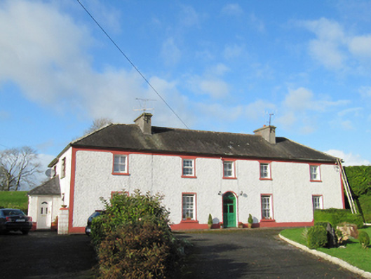 Raheen Househouse · 1568 yd
 Enclosure in AnnaghcallowEnclosure · 1694 yd
 LissaniskaFairy fort / earthen ringfort · 1.1 mi
 FrenchparkHouse, 18th/19th century · 1.3 mi
 Ballymore CastleCastle, tower house · 2.1 mi
 Silver FirSilver Fir · 2.1 mi
 European YewEuropean Yew · 3.1 mi
 Redmond HillMountain / peak · 3.1 mi
 Oghil Castle (in ruins)Castle, tower house · 3.2 mi
 Ballymacegan IslandIsland · 5.1 mi
 The bloody HollowHeritage attraction · 7.1 mi
 Urraghry HillMountain / peak · 7.1 mi
Other information
Photo: Credit not shown in the picture search · Rights wording not checked; contact us if this picture should be removed