
What is recorded here
On a hillock in pastureland, overlooking marshland to the W. Marked on the 1838 edition of the OS 6-inch map as an unenclosed subcircular mixed tree plantation (c. 45m N-S; c. 43m E-W). On the OS 1:2500 plan (surveyed 1912-16) it is more irregular in outline with a straight section from S to W; the latter section is all that is shown on the 1944-5 revision of the 6-inch map. On inspection in July 1984, this proved to be a NW-SE running earthen bank (Wth 1.2m; int. H 0.75m; ext. H 1.1m) with traces of a shallow fosse at W, otherwise no visible surface trace survived. A number of mature beech trees were growing on the bank. The cartographic evidence suggests that this is a landscape feature. However, according to local information, it is known as 'the Fort' and it was knocked down in 1922; beech trees had been planted in the interior and around it. It may possibly be a rath.
Compiled by: Olive Alcock
Date of upload: 27 February 2019
The monument record does not grant public access. Check the route and ask the landowner before entering private land.
- What survives
- Recorded monument
Places near here
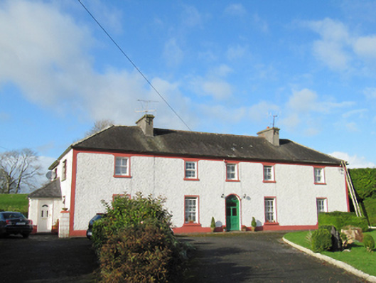 Raheen Househouse · 1568 yd
 Enclosure in AnnaghcallowEnclosure · 1694 yd
 LissaniskaFairy fort / earthen ringfort · 1.1 mi
 FrenchparkHouse, 18th/19th century · 1.3 mi
 Ballymore CastleCastle, tower house · 2.1 mi
 Silver FirSilver Fir · 2.1 mi
 European YewEuropean Yew · 3.1 mi
 Redmond HillMountain / peak · 3.1 mi
 Oghil Castle (in ruins)Castle, tower house · 3.2 mi
 Ballymacegan IslandIsland · 5.1 mi
 The bloody HollowHeritage attraction · 7.1 mi
 Urraghry HillMountain / peak · 7.1 mi
Other information
Photo: Credit not shown in the picture search · Rights wording not checked; contact us if this picture should be removed