
What is recorded here
On a S-facing slope in grassland, overlooking bogland. This poorly preserved circular enclosure (diam. 36m) is defined by a low narrow bank from SW through N to SE. There is a wide breach (Wth 10m) from SE to SW. Tentative indications of a fosse and outer bank are visible SW. The interior has been extensively quarried out. A beech tree is growing on the bank at E and a there are a number of large tree stumps of trees to its S. The cartographic evidence and the narrowness of the bank suggest that this may be a tree-ring enclosure. However, it is not associated with a large house or demesne.
Compiled by: Galway Archaeological Survey, UCG
Date of upload: 26 February 2019
The monument record does not grant public access. Check the route and ask the landowner before entering private land.
- What survives
- Recorded monument
Places near here
 IndicatedEnclosure · 318 yd
 Enclosure in AnnaghcallowEnclosure · 1656 yd
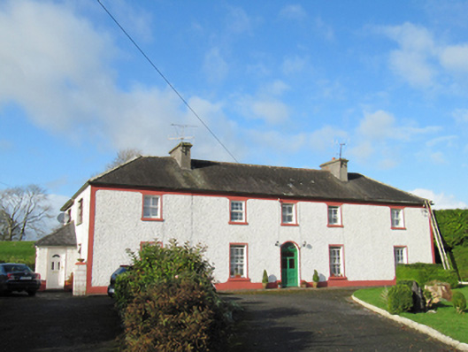 Raheen Househouse · 1.1 mi
 Feaghmorehouse · 1.3 mi
 Ballymore CastleCastle, tower house · 2.0 mi
 Silver FirSilver Fir · 2.0 mi
 Redmond HillMountain / peak · 2.9 mi
 European YewEuropean Yew · 3.2 mi
 Oghil Castle (in ruins)Castle, tower house · 3.2 mi
 Ballymacegan IslandIsland · 4.9 mi
 Friars IslandIsland · 5.7 mi
 Urraghry HillMountain / peak · 7.2 mi
Other information
Photo: Credit not shown in the picture search · Rights wording not checked; contact us if this picture should be removed