What is recorded here
In rough heather- and rush-covered boggy upland pasture, located on a slight rise on a fairly level plateau. To E ground falls into a natural dip then rises sharply to the ridge summit. There are good views to S, W and N over the undulating uplands, with Croagh Patrick visible on the far horizon to SW and the Nephin Beg Range to NW.
This small enclosure is indicated on the 1838 OS 6-inch map but is not shown on later maps editions.
Raised circular platform (18.5m E−W; 16m N−S) defined by a well preserved perimeter scarp (Wth slope 3m; ext. H 1.2m at E, 0.8m at W) which retains a slight internal lip. Outside the scarp, it is enclosed by a fosse (Wth 1.4-2m) evident as a very shallow depression marked by a growth of rushes. A slight slump (Wth c. 2m) in the scarp at E may indicate an entrance.
When inspected in 1998, a narrow vertical hole (diam. 0.4m; D c. 1m) of uncertain significance was noted in the N half of the interior.
Compiled by: Jane O’Shaughnessy
Date of upload: 2 December 2021
The monument record does not grant public access. Check the route and ask the landowner before entering private land.
- What survives
- Recorded monument
Places near here
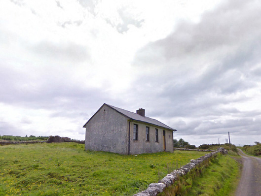 Comederry National Schoolschool · 771 yd
 Enclosure in Largan (gallen By.)Enclosure · 1.0 mi
 Carrowbeg WoodWood · 1.6 mi
 Ballinamore Bridgebridge · 1.7 mi
 CashlankeeghCastle, unclassified · 1.8 mi
 I'll Send You The FareMemorial · 3.6 mi
 Kiltimagh MuseumMuseum · 3.7 mi
 Site of CastleCastle, unclassified · 3.9 mi
 Oak WoodWood · 5.7 mi
 Thorn CaveCave · 5.9 mi
 Knock ShrineHeritage attraction · 7.4 mi