What is recorded here
Marked faintly as a circular enclosure (diam. c. 30m ) on the 1839 ed. of the OS 6-inch map, and situated on a level, low-lying landscape with a NE-SW stream c. 40m to the NW. No feature is visible at ground level in pasture.
The above description is derived from the published 'Archaeological Inventory of County Wexford' (Dublin: Stationery Office, 1996). In certain instances the entries have been revised and updated in the light of recent research.
Compiled by: Michael Moore
Date of upload/revision: 15 March, 2012
Amended: 13 May, 2014
The monument record does not grant public access. Check the route and ask the landowner before entering private land.
- What survives
- Recorded monument
Places near here
 IndicatedFairy fort / ringfort · 273 yd
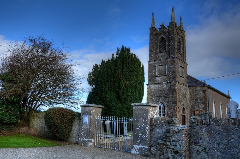 Kilmakilloge Church (in ruins)Church · 425 yd
 Kia Ora Mini FarmHeritage attraction · 766 yd
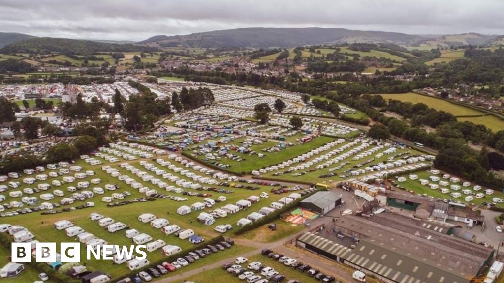 Fulacht fia in BallyloughanFulacht fia · 1246 yd
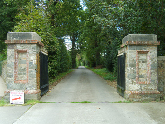 Clonattin Housegates/railings/walls · 1404 yd
 Market HouseHeritage attraction · 1.4 mi
 1798 MonumentMemorial · 1.8 mi
 Banoge HillMountain / peak · 2.0 mi
 Holm OakHolm Oak · 2.2 mi
 Courtown WoodsWood · 2.2 mi
 Tara HillMountain / peak · 2.3 mi
 Duffcarrig Rocks BeachBeach / strand · 2.3 mi