What is recorded here
Marked 'Fort' on OS 1836 and 1876 eds. Situated at the base of a valley adjacent to a stream. An earlier report (OPW 1977) described a slightly raised, small circular area (int. diam. c. 19m) enclosed by a narrow earthen bank and very slight traces of a fosse. Site has been levelled largely-as a result of the construction of a field boundary running N-S. Nonetheless its outline may still be traced.
The above description is derived from the published 'Archaeological Inventory of County Cavan' (Dublin: Stationery Office, 1995). In certain instances the entries have been revised and updated in the light of recent research.
Date of upload/revision: 22 December 2008
The monument record does not grant public access. Check the route and ask the landowner before entering private land.
- What survives
- Recorded monument
Places near here
 Corratober UpperMountain / peak · 403 yd
 IndicatedFairy fort / earthen ringfort · 407 yd
 Sweat Ho.Sweathouse · 906 yd
 CarrickbrannanMountain / peak · 1.0 mi
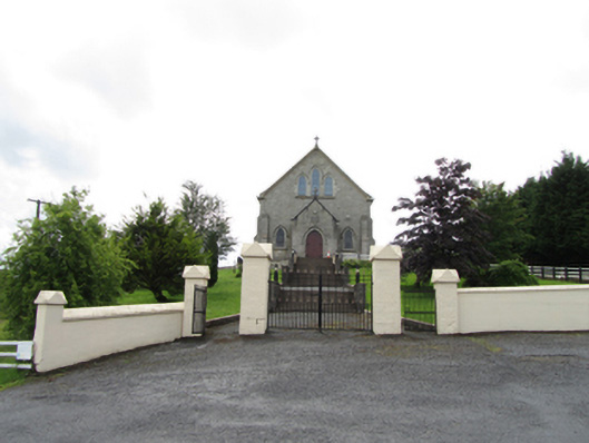 Church of the Immaculate Conceptionchurch/chapel · 1.1 mi
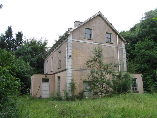 Corrard Househouse · 1.2 mi
 TobermurrySpring · 1.4 mi
 Corrard ForestForest · 1.4 mi
 PlaygroudCliff · 2.1 mi
 Republican Garden of RemembranceMemorial · 2.1 mi
 CarrignahastaCliff · 2.7 mi
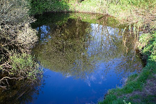 Shannon PotSpring · 2.9 mi