What is recorded here
Indicated is a vanished Limerick fairy fort, erased from the pasture though drawn on the 1841 map. Its twenty-metre ring stopped resisting the plough, and the field took back the shape of the fort. What is missing becomes easier to imagine: a small crowded world, bright with argument and rain, that disappeared into the ordinary ground.
In pasture. Monument, depicted as circular enclosure (diam. c. 20m) on 1841 OS 6-inch map, has been levelled. No trace of monument evident when inspected.
Compiled by: Denis Power
Date of upload: 26 August 2011
The monument record does not grant public access. Check the route and ask the landowner before entering private land.
- What survives
- Recorded monument
Places near here
 IndicatedFairy fort / earthen ringfort · 389 yd
 Patricks WellHoly well · 999 yd
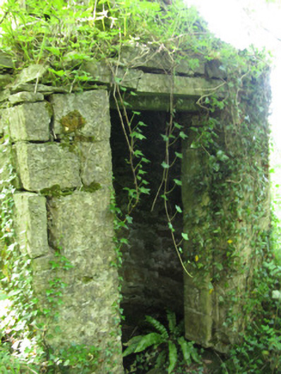 Glenbrook Housewell · 1.1 mi
 Granagh Housefarm house · 1.4 mi
 Bruree Castle Lower (in ruins)Castle, Anglo-Norman masonry castle · 2.3 mi
 Eagle Mount MoteCastle, motte · 2.7 mi
 Saint Derivla's WellSpring · 3.7 mi
 KnockfeerinaMountain / peak · 4.2 mi
 Our Lady's WellSpring · 4.3 mi
 Famine stoneMemorial · 4.7 mi
 European ashEuropean ash · 4.9 mi
 Flat cemetery in Kiltenan SouthFlat cemetery · 7.3 mi