
What is recorded here
In disused quarry, 24m E of townland boundary with Proonts. Indicated on the 1840 ed. OSi 6-inch map. Annotated 'Lime Kiln' on the 1897 ed. OSi 25-inch map. Seoighe (1987, 376) recorded the following about this post-1700 lime-kiln known locally as Hannon's limekiln; ‘Up to the late 1930’s people came from far and near to Hannon’s limekiln at Quarry Hill to buy lime for the whitewashing of their houses, outhouses, piers and walls’. Overgrown limekiln visible on Digital Globe orthoimage taken between 2011-13 and on Google Earth orthoimages.
Compiled by: Fiona Rooney
Date of upload: 8 September 2021
The monument record does not grant public access. Check the route and ask the landowner before entering private land.
- What survives
- Recorded monument
Places near here
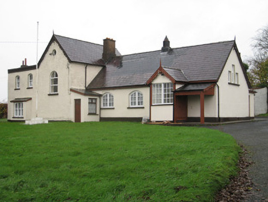 Coote Hallschool · 701 yd
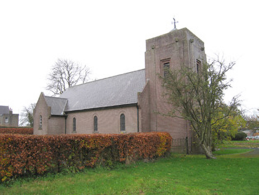 Church of Saint Peter and Saint Paulchurch/chapel · 717 yd
 ToberreendoneyHoly well · 768 yd
 Kilmallock AbbeyHeritage attraction · 832 yd
 Round TowerRound tower · 942 yd
 Kings CastleCastle, tower house · 1022 yd
 King John's CastleCastle · 1023 yd
 Site of Millmount Castle, Castle FieldCastle, unclassified · 1370 yd
 St Bridget's WellSpring · 2.1 mi
 Lady's WellSpring · 3.7 mi
 Ballyhoura tourist informationVisitor information · 5.2 mi
 Holy Cross CemeteryGraveyard · 6.1 mi
Other information
Photo: Credit not shown in the picture search · Rights wording not checked; contact us if this picture should be removed