
What is recorded here
Indicated is a circular cashel on a high exposed Clare terrace, its stone and earth bank still standing between one and two metres high after centuries of wind. The outer facing survives best from the north to the southeast, while the west has been scarped flat, perhaps by later hands or repeated use. Two rectangular walled enclosures abut the west perimeter, and a small cairn or structure rises just outside the south-east edge. The interior remains level, ready for footsteps, though no one is certain whether people, animals or memory first filled the ring.
On a high flat terrace in an exposed location and within an extensive multiperiod field system (CL004-016001-). Indicated on the 1915 OS 6-inch map. Listed as ‘enclosure’ in the RMP (1996).
A circular cashel (22m N-S; 22.3m E-W) defined by a bank of stone and earth (Wth 0.5-2.5m; ext. H 0.7-1.6m; int. H 0.5-1m). The outer facing is best preserved from N to NE and between SE and SW and the bank has been scarped from WNW to NNW. The interior of the cashel is level. A later wall runs along the perimeter of the cashel. Two later rectangular walled enclosures (8.9m E-W; 6.9m N-S and 8.5m E-W; 5.4m N-S) abut the perimeter at W. A cairn or structure (H 1.5m) lies just outside the cashel perimeter at SSE.
Compiled by: Mary Tunney and Lynda McCormack
Date of upload: 17 August 2022
The monument record does not grant public access. Check the route and ask the landowner before entering private land.
- What survives
- Recorded monument
Places near here
 ToberanahircalloughHoly well · 791 yd
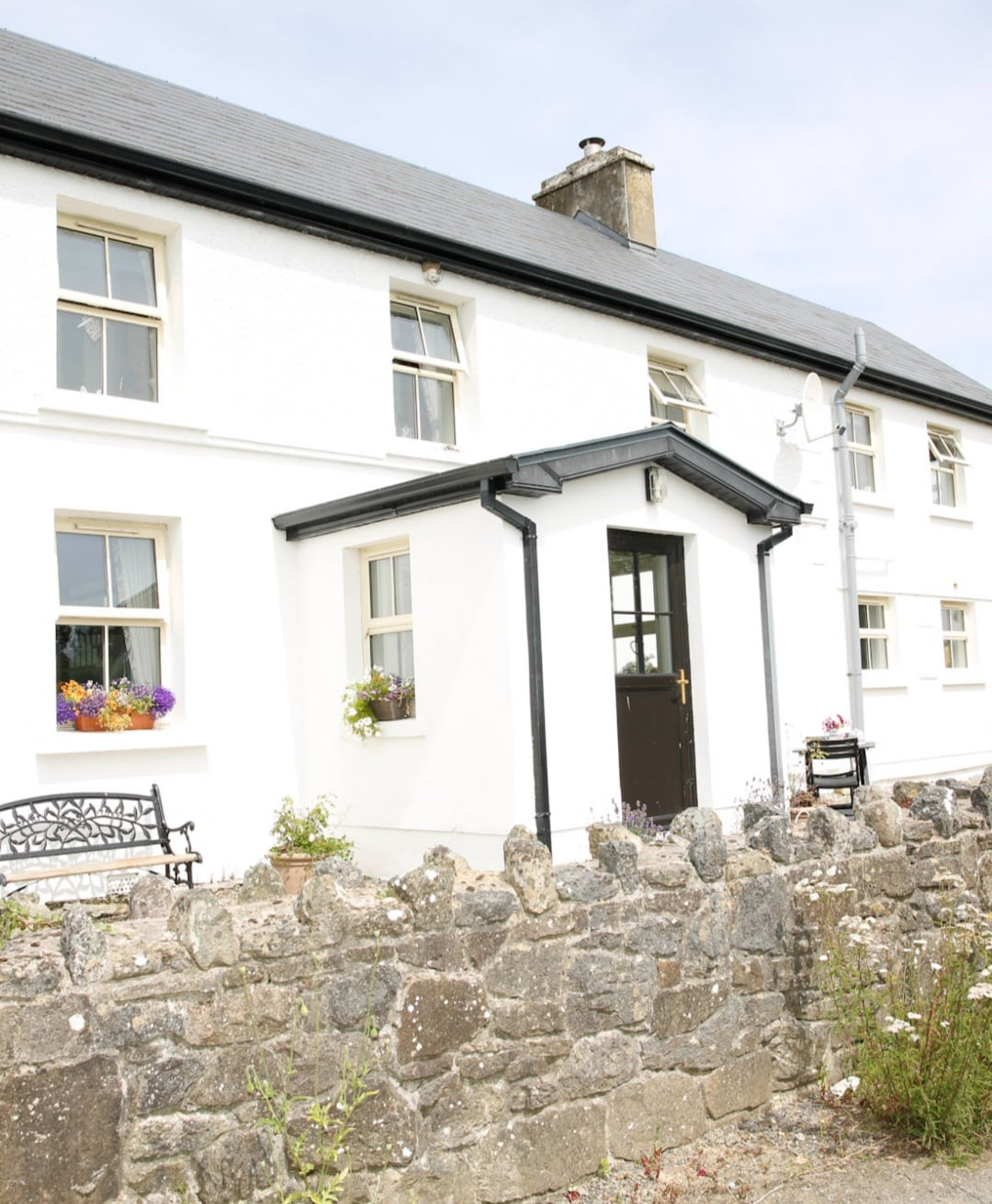 Enclosure in Formoyle WestEnclosure · 859 yd
 Slieve ElvaMountain / peak · 1531 yd
 Faunarooska Castle (in ruins)Castle, tower house · 1654 yd
 FaunarooskaCave · 1.2 mi
 Formoyle R.C. ChapelChurch · 1.2 mi
 PollbailinyCave · 1.3 mi
 Balliny CaherRuins · 1.4 mi
 Fanore BeachBeach / strand · 2.1 mi
 CappanawallaMountain / peak · 3.0 mi
 Gregan CastleCastle · 3.1 mi
 OughtdarraCliff · 4.0 mi
Other information
Photo: Credit not shown in the picture search · Rights wording not checked; contact us if this picture should be removed