
What is recorded here
On the E side of a flat-topped ridge in a N-S valley. Very good views in all directions. A small faint circular feature (diam. c. 12m) visible only on the 1st ed. OS 6-inch map. On inspection no visible trace was found at ground level. The field is flat and reclaimed and an extensive range of modern farm buildings have been built at or slightly E of the mapped location.
Compiled by: Mary Tunney
Date of upload: 13 February 2013
This remains an important historical record, but the official description says the monument is no longer visible or has been destroyed. The monument record does not grant public access. Check the route and ask the landowner before entering private land.
- What survives
- No visible remains or recorded as destroyed
Places near here
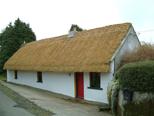 Maherhouse · 1421 yd
 Saint Scuithin's Catholic Churchchurch/chapel · 1.3 mi
 ToberpatrickHoly well · 1.8 mi
 St. Scoheens WellHoly well · 1.9 mi
 Freneystown CastleCastle, tower house · 2.1 mi
 SycamoreSycamore · 2.5 mi
 Gleann Dick ForestForest · 2.8 mi
 St. Mogarra’s WellSpring · 2.8 mi
 Clara CastleCastle, tower house · 3.1 mi
 Edward BurkeMemorial · 5.6 mi
 Gallows HillMountain / peak · 5.9 mi
 Saint Molagga's WellSpring · 5.9 mi
Other information
Photo: Credit not shown in the picture search · Rights wording not checked; contact us if this picture should be removed