What is recorded here
On a slight break of a SW-facing slope on an otherwise fairly steep slope. In rough upland pasture, the ground outside the sheepfold is quite waterlogged and reedy. The interior is dry and flat and has been planted with conifers, ash and sycamore.There is an abandoned farmhouse 100m to the N. A sub-circular enclosure (int. dims. 16.2m NE-SW; 18.9m NW-SE) of quite crude sandstone dry-stone wall construction (T 1-1.5m; H 1.5-1.7m), typical of late 18th/19th century fieldwalls. The entrance (Wth 0.9m) in the NNW quadrant facing the farmhouse, is currently blocked with stones.
Compiled by: Jean Farrelly
Date of upload: 26 August 2011
The monument record does not grant public access. Check the route and ask the landowner before entering private land.
- What survives
- Recorded monument
Places near here
 Seefin North TopMountain / peak · 1440 yd
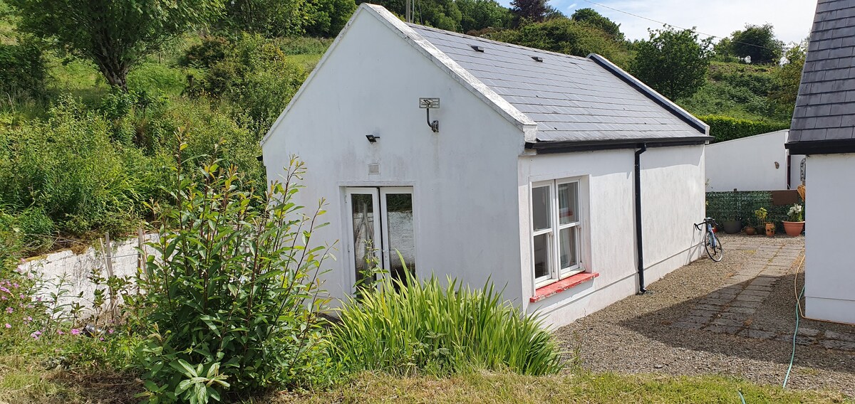 Hut site in CoolagarranroeHut site · 1752 yd
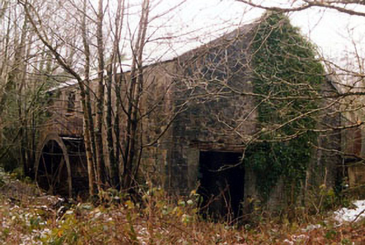 Galty Castlemill (water) · 1.4 mi
 Coopers WoodWood · 1.4 mi
 Mountain Lodgehunting/fishing lodge · 1.4 mi
 Glengarra WoodForest · 1.4 mi
 Aircraft Memorial 1976Memorial · 1.4 mi
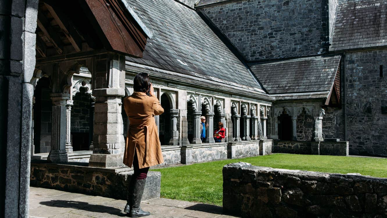 Ecclesiastical enclosure in SkeheenarankyEcclesiastical enclosure · 1.5 mi
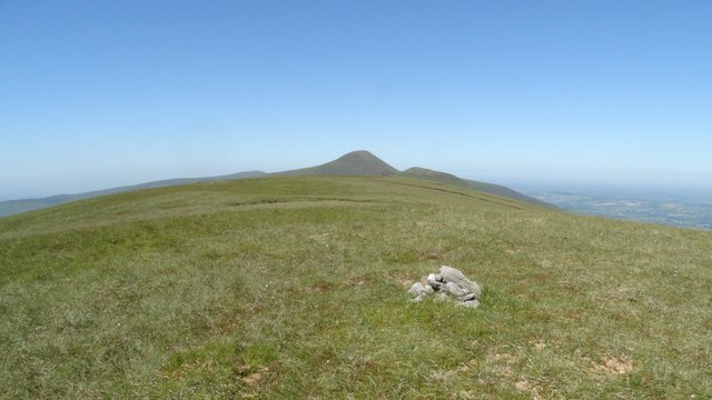 Greenane WestMountain / peak · 2.5 mi
 O'Loughman's CastleRuins · 2.6 mi
 Mitchelstown CaveCave · 2.6 mi
 Eagles StepCliff · 3.3 mi