What is recorded here
In pasture, located on a NW–SE ridge, at the break of slope on the SW side where the slope falls steeply to an expanse of wet ground, beyond which a possible embanked barrow (MA092-005----) is visible on a rise c. 250m to SSW. There is a megalithic tomb (MA092-007----) 200m to NE.
Circular platform (5.4m NE–SW; 5.3m NW-SE) enclosed by a fosse (Wth 1.4m at NE, 1.7m at SW) with a broadly slumped external bank (Wth 3.6m at NE, 4. 8m at SW; int. H 0.35m at NE, 0.8m at SW; ext. H 0.1m at NE, 1.4m at SW). The platform has a very slight central depression. The external bank is topped with stones at SE and SW. Grass cover, with two hawthorn bushes growing on the perimeter.
Compiled by: Jane O’Shaughnessy
Date of upload: 17 February 2022
A portal dolmen; likely dating to the Early Bronze Age. Its location on a prominent ridge and proximity to another possible barrow suggest it may be part of a wider ritual or funerary landscape.
The monument record does not grant public access. Check the route and ask the landowner before entering private land.
- What survives
- Recorded monument
Places near here
 IndicatedEnclosure · 694 yd
 CastleCastle, unclassified · 1.2 mi
 Promontory fortPromontory fort, inland · 1.2 mi
 Mannin Housefarm house · 1.2 mi
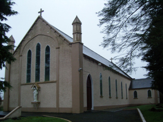 Saint Anne's Catholic Churchchurch/chapel · 1.3 mi
 Knock ShrineHeritage attraction · 2.7 mi
 Knock MuseumMuseum · 2.7 mi
 Rath Castle in ruinsCastle, tower house · 2.7 mi
 East Mayo Brigade MonumentMemorial · 3.5 mi
 I'll Send You The FareMemorial · 6.2 mi
 Oak WoodForest · 9.7 mi
 Geoffrey's WoodForest · 10 mi