
What is recorded here
Situated on E facing slope of rising ground in undulating countryside. Raised oval shaped platform (diam 34m N-S) defined by a scarp (ext. H 3.5m max.) which has been altered by recent dumping of material from nearby outhouse construction. No fosse or entrance feature visible. Road intersects site at SW.
Phase 2 excavations undertaken by John Tierney of Eachtra Archaeological Projects under licence No. E3774, along 17.1km (Contact 1) of the 35km N7 Castletown to Nenagh (Derrinsallagh to Ballintotty) national road scheme were commissioned by Laois County Council and the National Roads Authority. Contract 1 comprises the western half of the scheme and runs from Clashnevin to Castelroan, passing along the Tipperary North and Offaly county border regions.
The ringfort OF046–013---- is illustrated on the first-edition OS map (1835) as a banked and ditched enclosure. The site has been severely truncated since then. In the mid-19th century a local road was built down the western half of the enclosure and a 20th-century farmyard has impacted on the northern bank. The interior of the ringfort has been filled in and raised.
Two segments of the ringfort ditch were observed within the area of excavation. The first segment ran from underneath the furthermost southern baulk, 9.25m to the north. The second segment of ditch ran from underneath the furthermost northern baulk, 11.5m to the south. They are c. 2.2m in width. Three layers of modern material overlay the fills of the northern segment of the ditch, on the interior of the ringfort. At the most northern and southern extents of the ditch, it curved towards the east, continuing to form the circular ditch around the ringfort. The termini of the two ditches left a gap facing west c. 6.9m in width, most probably representing the entrance to the ringfort. A single pit was observed within the interior of the ringfort. It was subcircular in shape, measured 0.55m in diameter and contained multiple post-medieval finds including iron objects. The excavation has revealed the remains of a truncated enclosure. The nature of the archaeological stratigraphy, in particular the shallow ditch, raises the question of whether the site should be classified as a ringfort (Bennett 2010, 401).
The above description is derived from the published 'Archaeological Inventory of County Offaly' (Dublin: Stationery Office, 1997). In certain instances the entries have been revised and updated in the light of recent research.
Compiled by Caimin O'Brien
Date of upload/revision: 08 November 2011
A local fairy fort (ringfort/rath); wider significance not recorded.
The monument record does not grant public access. Check the route and ask the landowner before entering private land.
- What survives
- Recorded monument
Places near here
 Enclosure in RathEnclosure · 888 yd
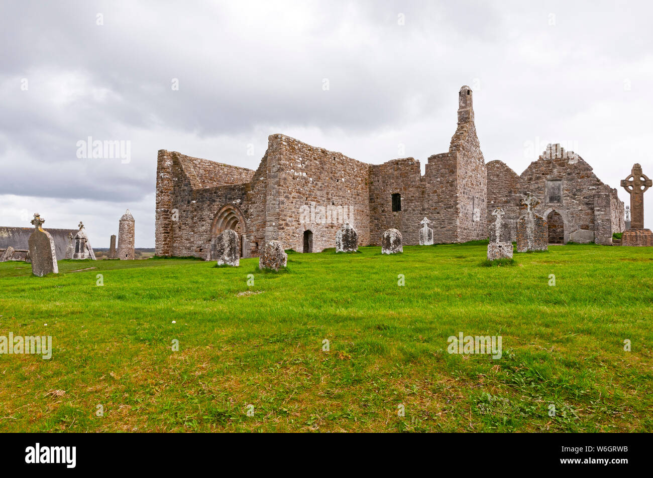 Enclosure in ClynoeEnclosure · 1224 yd
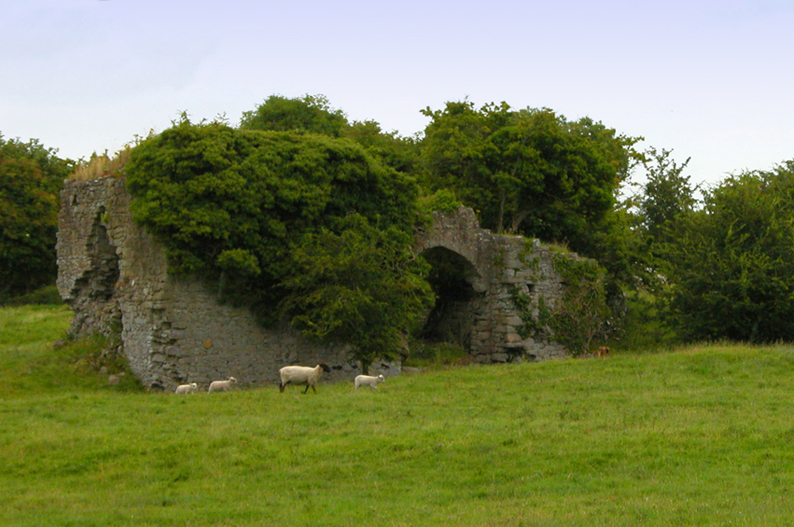 Bawn in CullenwaineBawn · 1684 yd
 Laughton Housecountry house · 1.0 mi
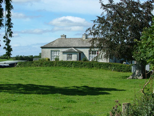 Rathenny Cottagefarm house · 1.1 mi
 CastleCastle, tower house · 1.2 mi
 Kyleroe WoodWood · 1.7 mi
 BenduffMountain / peak · 3.4 mi
 Borrisnoe MountainMountain / peak · 4.3 mi
 Thomas MacDonagh Heritage CentreMuseum · 4.4 mi
 MacDonagh HouseMemorial · 4.5 mi
 Ballycapple WoodForest · 4.9 mi
Other information
Photo: Credit not shown in the picture search · Rights wording not checked; contact us if this picture should be removed