
What is recorded here
Indicated is a ruined oval cashel on a Galway ridge, its drystone wall still standing tall at the northeast while the rest has surrendered to grass. Inside, loose boulders mark a small rectangular house beside a shallow circular hollow, suggesting people once lived beneath the open sky. A separate semicircular enclosure abuts the main wall, perhaps belonging to the same forgotten community or perhaps serving some other purpose now lost. The ridge exposes every angle to weather and wonder, preserving only enough shape to prove the fort existed.
On the summit of a ridge in grassland. Poorly preserved oval cashel (NW-SE 50m, NE-SW 35m) defined by a drystone wall, best preserved from NNW to NE. In SSW sector of the interior, a rectangular structure (NW-SE; L 3.2m, Wth > 1m) defined by a line of loose boulders is probably a house. To E lies a small circular hollow (D 1.5m). Abutting the enclosing element at NE is a semicircular enclosure (E-W 22m, N-S 20m) defined by a drystone wall. It may be associated.
The above description is derived from the published 'Archaeological Inventory of County Galway Vol. II - North Galway'. Compiled by Olive Alcock, Kathy de hÓra and Paul Gosling (Dublin: Stationery Office, 1999).
Date of upload: 05 August 2010
The monument record does not grant public access. Check the route and ask the landowner before entering private land.
- What survives
- Recorded monument
Places near here
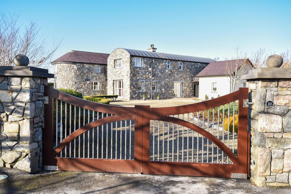 Enclosure in CluidrevaghEnclosure · 261 yd
 Enclosure in Biggera MoreEnclosure · 916 yd
 Castlehacket National Schoolschool · 1110 yd
 Site of CastleCastle, unclassified · 1.3 mi
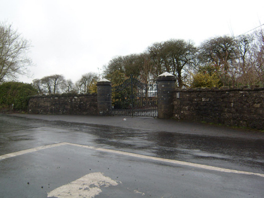 Cahermorris Housedemesne walls/gates/railings · 1.4 mi
 Kilcoona Round TowerHeritage attraction · 2.4 mi
 KnockmaaWood · 2.5 mi
 Cregboyne FortBawn · 2.7 mi
 Cregg Castle DemesneForest · 4.2 mi
 Ballinduff BayBay · 4.2 mi
 Mass RockNamed rock · 5.9 mi
 Walsh's IslandIslet · 6.1 mi
Other information
Photo: Credit not shown in the picture search · Rights wording not checked; contact us if this picture should be removed