
What is recorded here
Indicated was a large fairy fort in County Cavan, now buried beneath a working farmyard. Its circular bank once rose forty metres across, but only a short northern stretch remains visible. The loss is not tragic, because the land still holds the shape of what stood there before human hands changed it.
The site is now occupied by a modern farmyard and farm buildings. It formerly comprised (OPW 1969) a raised circular area (int. dims. 46.3m E-W; 43.2m N-S) enclosed by a substantial earthen bank and traces of a fosse. Original entrance was probably at SE. All that survives of the perimeter is a short stretch of fosse and bank at NW.
The above description is derived from the published 'Archaeological Inventory of County Cavan' (Dublin: Stationery Office, 1995). In certain instances the entries have been revised and updated in the light of recent research.
Date of upload/revision: 22 December 2008
The monument record does not grant public access. Check the route and ask the landowner before entering private land.
- What survives
- Recorded monument
Places near here
 Tomkinroad Househouse · 911 yd
 St Columba's Church of Ireland Churchchurch/chapel · 1719 yd
 Enclosure in KillicarEnclosure · 1.4 mi
 Drumalee Bog WoodWood · 1.7 mi
 Camalier ForestForest · 1.7 mi
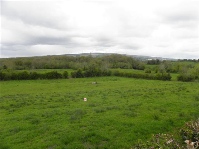 Enclosure in CuillaghanEnclosure · 1.7 mi
 CastleCastle, unclassified · 1.8 mi
 Castel Bagshaw in RuinsCastle, unclassified · 2.4 mi
 KillycramphMountain / peak · 2.5 mi
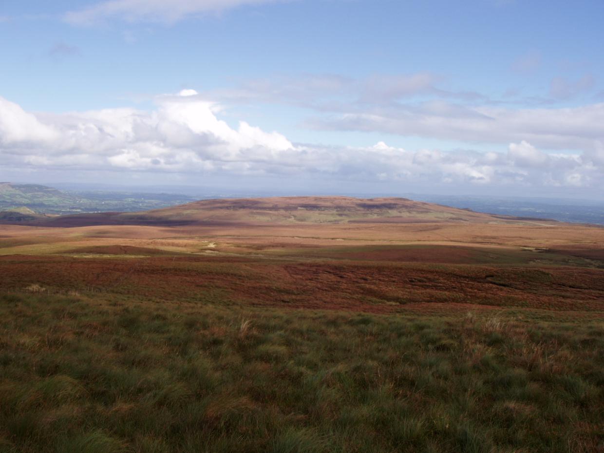 DrumettaghMountain / peak · 2.6 mi
 Kieran Doherty TD Cavan Monaghan MemorialMonument · 2.7 mi
 Mill WalkVisitor information · 3.0 mi
Other information
Photo: Credit not shown in the picture search · Rights wording not checked; contact us if this picture should be removed