What is recorded here
Situated in a low-lying, flat, marshy area 50m from the N shore of Lough Derg with Woodpark Demesne to the N. A large subcircular enclosure (diam. 59m) defined by an insubstantial bank (Wth 2.15-2.3m; int. H 0.35-0.4m; ext. H 0.63-0.87m) and shallow, flat fosse (Wth 1.3-1.45m; D 0.2-0.3m) that peters out at NW. There are several small gaps in the bank but no definite entrance feature. Mature trees, beech, sycamore, ash and holly grow throughout and several badger burrows are evident in the banks and the interior. The interior is uneven with a raised area a W sloping to E and there are a few moss-covered boulders but no definite structures. There are several 19th century features in the area including named groves, plantations, gardens and badger burrows and this feature appears to be part of that landscape.
The following images have been uploaded:
CL029-060----_01.jpg General view across bank and interior from NNE.
CL029-060----_02.jpg Bank and fosse at N from E.
CL029-060----_03.jpg General view from N.
Compiled by: Mary Tunney
Date of upload: 5 October 2018
The monument record does not grant public access. Check the route and ask the landowner before entering private land.
- What survives
- Recorded monument
Places near here
 TobernaneebeHoly well · 335 yd
 Pedunculate OakPedunculate Oak · 401 yd
 IndicatedChurch · 1200 yd
 Inishcaltra or Holy IslandIslet · 1222 yd
 Inishcaltra Monastic SiteArchaeological place · 1241 yd
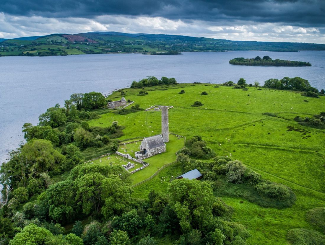 Baptism ChurchChurch · 1333 yd
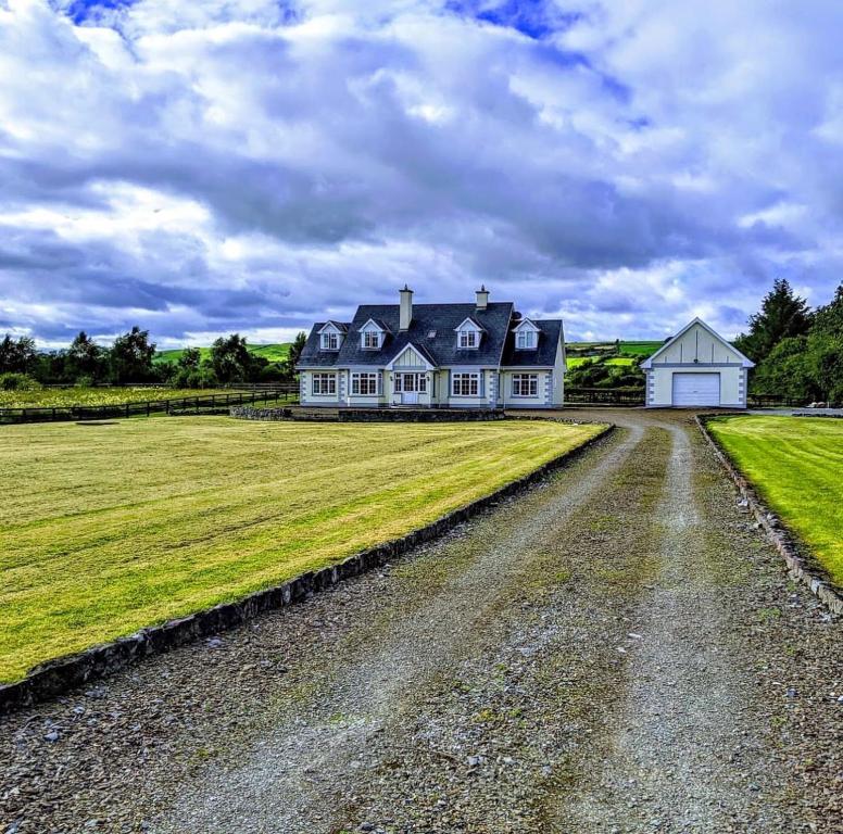 Scarriff BayBay · 1.4 mi
 The MazeHeritage attraction · 1.4 mi
 Castle BaunCastle · 1.8 mi
 Bawn in Caher (tulla Lower By.)Bawn · 2.0 mi
 Cloonoolia BayBay · 2.2 mi
 Aughinish WoodForest · 2.5 mi