What is recorded here
Indicated is a partially overgrown fairy fort on a Mayo ridge, its earth and stone bank enclosing a thirty-two-metre circle above the Clydagh River. Cattle have poached the shallow outer ditch and grass has swallowed the intermittent internal facing, yet the rough boundary still stands where human hands first shaped it. The modern depressions inside suggest later activity, but the main ring preserves the older idea of a small defended or ceremonial place set into open pasture.
In pasture on a level terrace on the mid SE-facing slope of a NE-SW ridge, overlooking the NE-flowing Clydagh River c. 85m to the SE. A partially overgrown, roughly circular area (int. diam. 32m) is enclosed by an inner bank of earth and stone (int. H 0.4-1.6m; Wth 3.2-6.9m; ext. H 1.5-1.9m) with internal stone facing (H 0.4-1.1m) surviving intermittently throughout, and a shallow outer fosse (Wth 2m; D 0.15m). The enclosing elements are overgrown and poached by livestock. The interior contains an overgrown linear depression (L 15m NE-SW; Wth 1m; D 0.4m) in the S sector, together with three small circular depressions (av. diams. 1.5m; av. D 0.4m) nearby in the SE sector, all of which appear to be modern in origin.
Date of visit: 11-3-2025
Compiled by: Gearóid Conroy and Leo Morahan
The monument record does not grant public access. Check the route and ask the landowner before entering private land.
- What survives
- Recorded monument
Places near here
 IndicatedFairy fort / earthen ringfort · 559 yd
 Park Bridgebridge · 840 yd
 bridgebridge · 951 yd
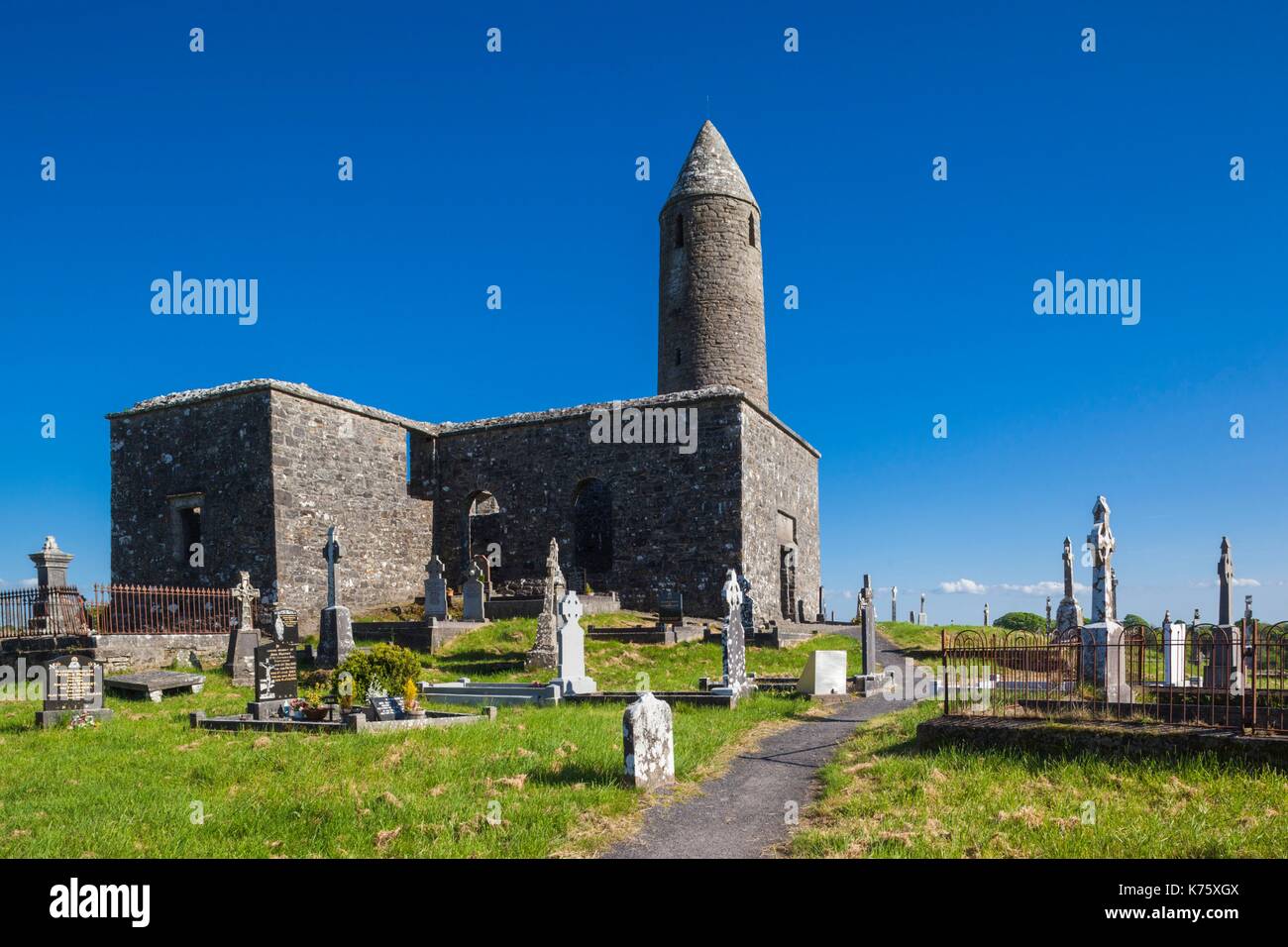 Enclosure in Turlough (carra By.)Enclosure · 1392 yd
 CastleCastle, unclassified · 1.1 mi
 National Museum of Ireland, Country LifeMuseum · 1.2 mi
 Sunken GardenWood · 1.3 mi
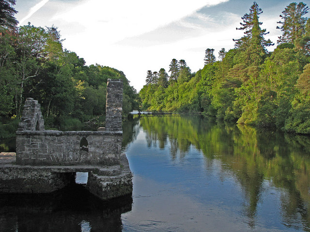 River WoodWood · 1.3 mi
 Castle in RuinsCastle, unclassified · 1.4 mi
 Michael DavittMemorial · 3.7 mi
 Battle of CastlebarMajor battlefield · 4.4 mi
 Saint John Baptist de La SalleMemorial · 4.6 mi