What is recorded here
In level grassland immediately E of a trackway. Marked on OS 6-inch maps as a small circular mound (D c. 20m). What survives is a subrectangular earthen platform (N-S 18.5m, E-W 15m, H 1.3m), its present plan probably the result of encroachment during ploughing. CBG (GA018-010001-) is associated.
The above description is derived from the published 'Archaeological Inventory of County Galway Vol. II - North Galway'. Compiled by Olive Alcock, Kathy de hÓra and Paul Gosling (Dublin: Stationery Office, 1999).
Date of upload: 05 August 2010
A subrectangular earthen platform, likely a Bronze Age fulacht fiadh or ceremonial structure; its significance lies in its potential association with early domestic or ritual activity in the region.
The monument record does not grant public access. Check the route and ask the landowner before entering private land.
- What survives
- Recorded monument
Places near here
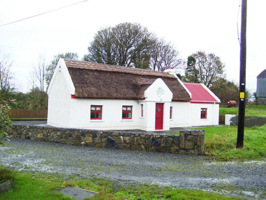 Lettera Cottagehouse · 1.1 mi
 Park CastleCastle · 1.3 mi
 Enclosure in TimadooaunEnclosure · 1.4 mi
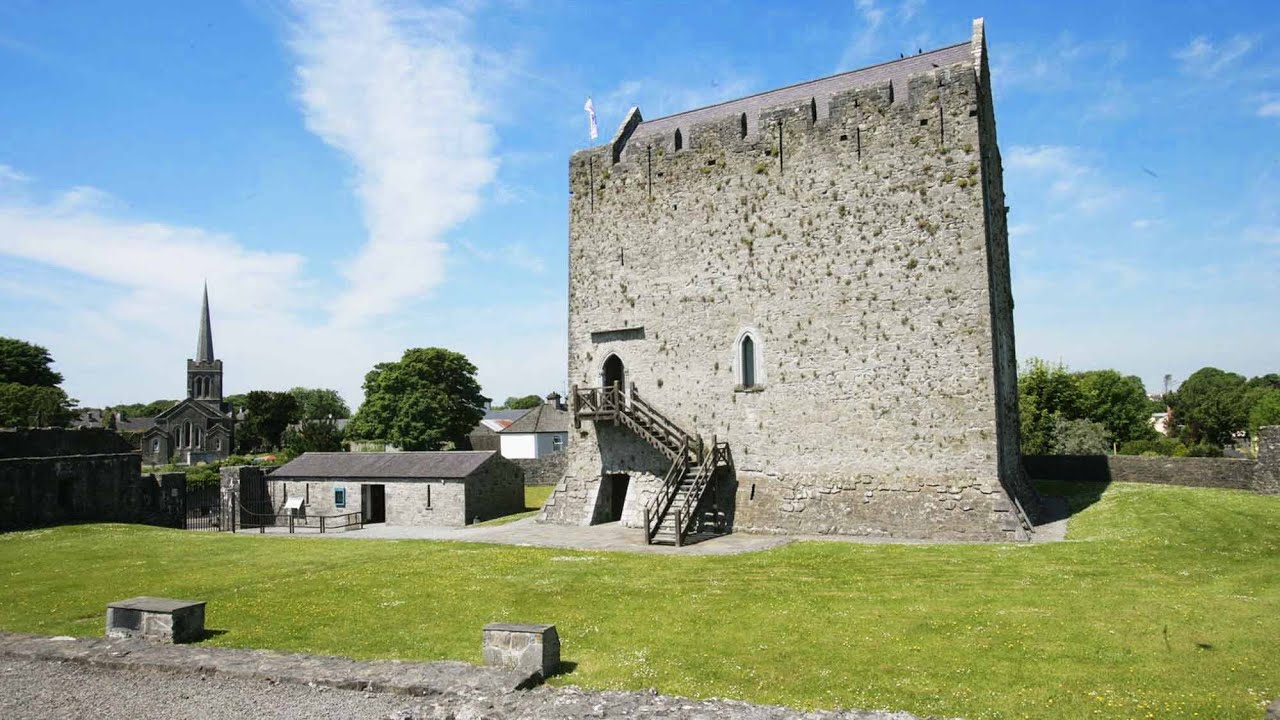 Lerhin CastleCastle · 1.6 mi
 Enclosure in LerhinEnclosure · 1.6 mi
 Country house in Ashfield (ballymoe By.)Country house · 1.6 mi
 Rook HillMountain / peak · 5.9 mi
 Site of Killomaine Grave YardArchaeological place · 8.5 mi
 SycamoreSycamore · 9.2 mi
 Ballinlass Eviction MemorialMemorial · 9.4 mi
 Wych ElmWych Elm · 9.6 mi
 Mount MaryMountain / peak · 9.9 mi