What is recorded here
In wet low-lying pasture, immediately N of farmyard. Rectangular area (c. 40m N-S; c. 40m E-W) defined by earthen bank (max. int. H 0.89m; ext. H c. 2m) on W, N and E sides, with external fosse (Wth 2m). Bank highest at NW and NE corners. Interior appears to be raised above level of surrounding field; feeding stall for farm animals constructed in SE quadrant. Fosse largely silted up and overgrown with rushes and reeds. Slurry pit c. 2m outside outer edge of moat on E side. According to local information, bank levelled and fosse (shown on 1936 OS 6-inch map) infilled on S side to allow farm animals access to interior.
The above description is derived from the published 'Archaeological Inventory of County Cork. Volume 4: North Cork' (Dublin: Stationery Office, 2000). In certain instances the entries have been revised and updated in the light of recent research.
Date of upload/revision: 14 January 2009
The monument record does not grant public access. Check the route and ask the landowner before entering private land.
- What survives
- Recorded monument
Places near here
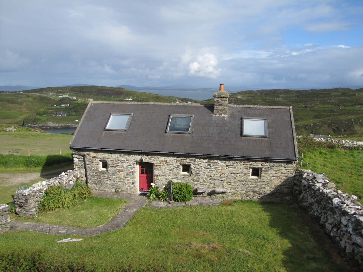 Enclosure in CoolasmuttaneEnclosure · 383 yd
 Indicated, Shandrum (carbery East (w.d) By.)House, vernacular house · 680 yd
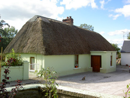 house, SHANDRUMhouse · 725 yd
 Tumulus, Glengarriff (orrery and Kilmore By.)Castle, motte · 1.0 mi
 Gortskagh House, Ardanaearle Crossroadsgate lodge · 1.1 mi
 Bawn in CregganeBawn · 2.5 mi
 Saint Derivla's WellSpring · 3.9 mi
 ToberSpring · 4.9 mi
 CarrigeenMountain / peak · 6.5 mi
 National Co-op MuseumMuseum · 7.3 mi
 Indicated, Ballydaheen (orrery and Kilmore By.)Moated site · 964 yd
 Grave Yard, Shandrum (carbery East (w.d) By.)Graveyard · 1296 yd