What is recorded here
In pasture, boxed into the S end of a small rectangular field, located on a slight rise.
Slightly raised oval area (32.7m E−W; 42.3m N−S) defined by a stony earthen bank, and enclosed by a fosse and external bank, which have been levelled on the NE arc.
The inner bank (Wth 2.7m, slumping to 4.5m in parts; int. H 0.65m; ext. 1.1m, at W) has a low slumped inner slope, largely reduced on the E half to a scarp with a low inner rim.
On the W arc, large stones protruding along the base of the internal slope; these appear to be remnants of stone kerbing. The fosse (Wth 4m at W) and external bank (Wth 2.7m; int. H 0.7m; ext. H 0.7m, at W) are well preserved at SE−NNW; at N−E they are levelled to a flat berm-like gap (Wth 10m) defined on its outer edge by a low scarp (H 0.5m); at E a field wall on a roughly N−S axis overlies the levelled outer bank.
The interior has an uneven surface. It slopes down from centre to E towards a low area/gap in the bank, which may be the location of an original entrance. There is another eroded break at SW, used as present-day access to the interior.
Portions of the exterior slope of the inner bank are quarried out on the N arc. There is a stony field clearance heap on the line of the levelled outer bank at NE.
Compiled by: Jane O'Shaughnessy
Date of upload: 7 July 2020
The monument record does not grant public access. Check the route and ask the landowner before entering private land.
- What survives
- Recorded monument
Places near here
 Cloonfane National Schoolschool · 1542 yd
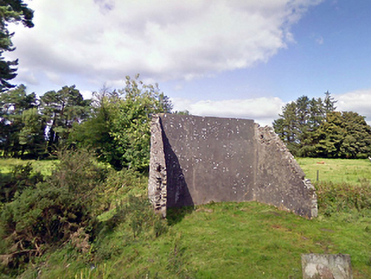 handball alleyhandball alley · 1.1 mi
 IndicatedFairy fort / earthen ringfort · 1.2 mi
 Enclosure in Lavy MoreEnclosure · 1.4 mi
 Old Cave Burial GroundArchaeological place · 2.0 mi
 Bockagh HillMountain / peak · 5.1 mi
 Casatle (ruins)Castle, unclassified · 6.9 mi
 Crunaun Castle (in ruins)Castle, unclassified · 7.5 mi
 East Mayo Brigade MonumentMemorial · 9.1 mi
 Procession Of The SoulsMemorial · 9.2 mi
 Brabazon WoodsForest · 9.2 mi
 Lough Talt TrailVisitor information · 12 mi