What is recorded here
Indicated is a stone ringfort in County Mayo, Ireland. It stands on a gentle slope above boggy pasture, enclosed by a rough drystone wall and hidden beneath blackthorn and brambles. The site belongs to the old cashel tradition, where stone marked boundary, shelter or ceremony before fields and roads replaced it.
In pasture, located on a gentle N-facing slope. Ground falls away gradually to N to an expanse of flat boggy pasture. Much of the rising ground to S is under coniferous plantation.
Sub-circular area (diam. c. 20-25m) enclosed by a roughly built drystone wall (Wth c. 0.8m; int. H 0.5-1m; ext. H 0.5-0.8m) incorporated into a radiating system of field walls. The interior area is not noticeably raised. Overgrowth impeded examination of this enclosure: The perimeter is ringed with blackthorn and hawthorn, and an impenetrable thicket of blackthorn and brambles cloaks the interior. Cultivation ridges, on a NE-SW axis, are visible in the adjacent field to W.
Compiled by: Jane O'Shaughnessy
Date of upload: 9 July 2020
The monument record does not grant public access. Check the route and ask the landowner before entering private land.
- What survives
- Recorded monument
Places near here
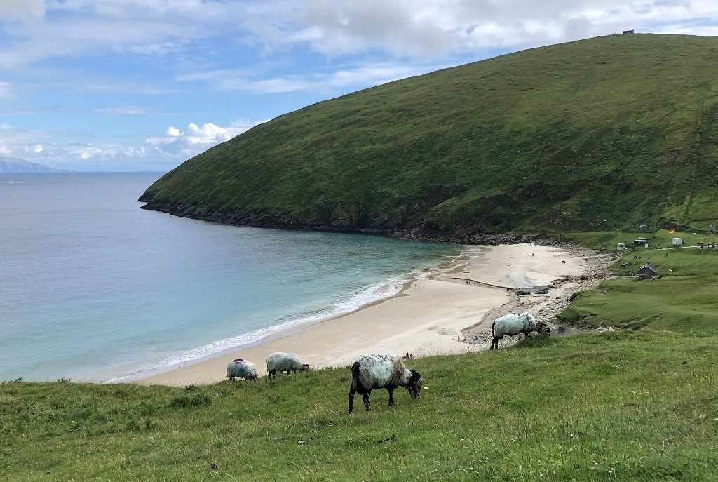 IndicatedEnclosure · 710 yd
 Enclosure in Lavy MoreEnclosure · 1147 yd
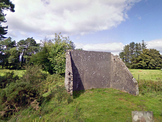 handball alleyhandball alley · 1.3 mi
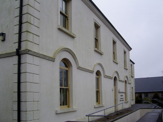 Charlestown Town Hall Arts Centretown/county hall · 1.5 mi
 Old Cave Burial GroundArchaeological place · 3.7 mi
 Bockagh HillMountain / peak · 6.3 mi
 East Mayo Brigade MonumentMemorial · 7.5 mi
 Casatle (ruins)Castle, unclassified · 7.5 mi
 Crunaun Castle (in ruins)Castle, unclassified · 7.9 mi
 Thorn CaveCave · 9.8 mi
 Lough Talt TrailVisitor information · 11 mi
 Kiltimagh MuseumMuseum · 12 mi