What is recorded here
On E-facing slope in meadow. Marked as circular enclosure on OS map (1838), containing 'Grave Yard'. O'Donovan (1838, 392) refers to 'ancient fort, which serves as a burial ground for young children'. Burial ground (MA117-018002-) in interior of earthen mound.
The above description has been derived from D. Lavelle (compiler), An Archaeological Survey of Ballinrobe and District including Lough Mask and Lough Carra. Lough Mask and Lough Carra Tourist Development Association (1994), No. 345.
Date of upload: 6 November 2013
Cloonliffen is a likely early-medieval fairy fort (ringfort/rath) situated on an east-facing slope in a meadow. It has been associated with a burial ground for young children, as noted by O'Donovan in 1838, blending historical and folkloric significance.
The monument record does not grant public access. Check the route and ask the landowner before entering private land.
- What survives
- Recorded monument
Places near here
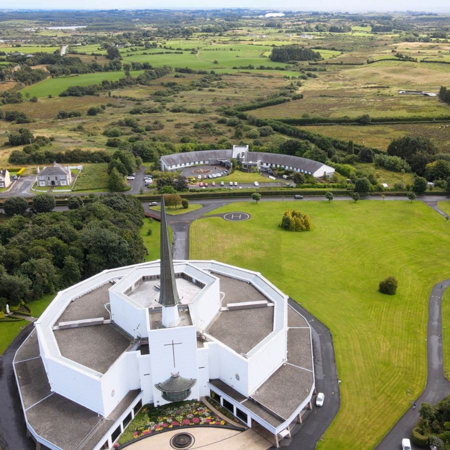 Ecclesiastical enclosure in Kilkeeran (kilmaine By., Ballinrobe Par.)Ecclesiastical enclosure · 641 yd
 IndicatedFairy fort / earthen ringfort · 656 yd
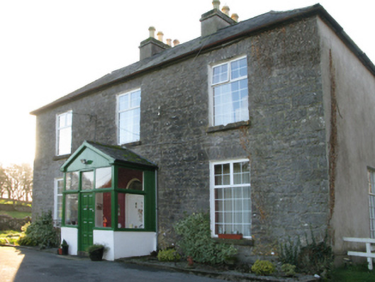 Springvale Housefarm house · 1287 yd
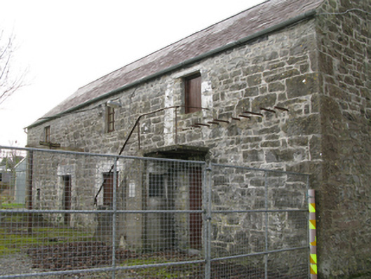 mill (water)mill (water) · 1320 yd
 LabbadermotCave · 1604 yd
 Castle in ruinsCastle, unclassified · 1.1 mi
 CastleCastle, unclassified · 1.3 mi
 European ashEuropean ash · 1.4 mi
 Long IslandIslet · 1.7 mi
 Carrigeen ShangormanIslet · 1.8 mi
 Black RocksNamed rock · 2.9 mi
 Devenish RocksNamed rock · 3.1 mi